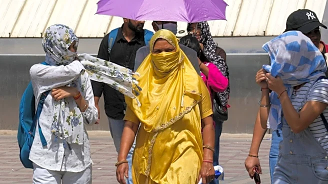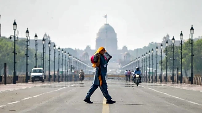


New Delhi, Jun 29 (PTI) Even after sunset, Delhi found little relief this summer. As the season draws to a close, the city recorded its warmest summer nights in four years, with the average minimum temperature during the March-June pre-monsoon period climbing to 22.9 degrees Celsius, the highest seasonal average since 2022, according to IMD data accessed by PTI.
The pre-monsoon season was also marked by preponed pre-monsoon showers, persistently hot days, brief but intense spells of heatwave and a delayed onset of the southwest monsoon. The average minimum temperature stood at 22.9 degrees Celsius, recorded till June 29, against 21.2 degrees Celsius in 2021, 23.3 degrees Celsius in 2022, 20.9 degrees Celsius in 2023, 22.8 degrees Celsius in 2024
and 22.5 degrees Celsius in 2025, making it the highest seasonal average since 2022.
The average maximum temperature during the March-June pre-monsoon period, recorded till June 28, stood at 37 degrees Celsius, compared with 36.5 degrees Celsius in 2021, 38.4 degrees Celsius in 2022, 35 degrees Celsius in 2023, 37.6 degrees Celsius in 2024 and 36.6 degrees Celsius in 2025, making it the second-highest seasonal average in the last six years after 2024. Month-wise IMD data showed March was among the hottest in recent years. The average maximum temperature stood at 32.6 degrees Celsius, the highest for the month in four years. The last hotter March was in 2022, when the average maximum temperature was 33.4 degrees Celsius.
The average minimum temperature for March 2026 stood at 17.6 degrees Celsius, the highest in four years since 2022, when it was at the same level. March was also the wettest in the last three years, with 19.82 mm of rainfall, the highest since March 2023, when the city had received 50.4 mm.
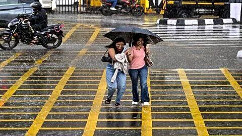
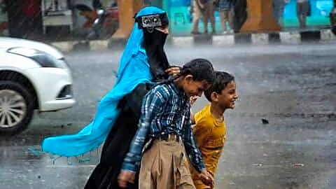
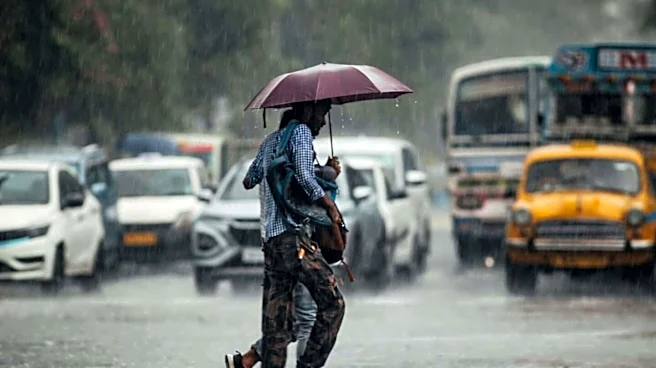
April brought a sharp shift in weather, with frequent and preponed pre-monsoon showers making it Delhi’s wettest April in 18 years. The city received around 28 mm of rainfall during the month, the highest since 38.6 mm recorded in April 2008.
The average maximum temperature stood at around 37 degrees Celsius, making it the coolest April in two years, while the average minimum temperature was 21 degrees Celsius.
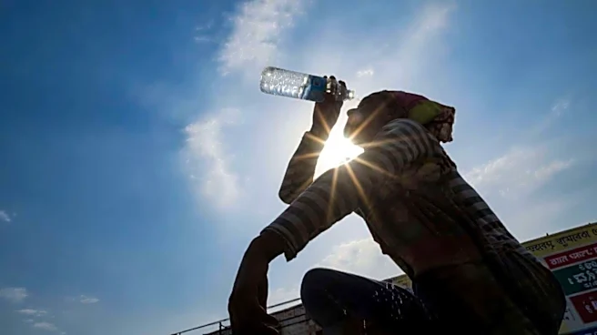
The city swung back to extreme heat in May. The average maximum temperature rose to 39.4 degrees Celsius, the highest since 2024, when it stood at 41.7 degrees Celsius. The average minimum temperature was 25.8 degrees Celsius, the second-highest in the last five years after 26.5 degrees Celsius in 2024.
Delhi experienced four heatwave days between May 18 and May 21, with temperatures crossing 46 degrees Celsius in several parts of the city.
The capital also witnessed unusually warm nights in May, with the minimum temperature touching 31.9 degrees Celsius on May 21 and 32.8 degrees Celsius on May 26, among the highest nighttime temperatures recorded in Delhi in the last 14 years. The city received 17.61 mm of rainfall during May.
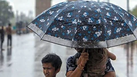
Till June 29, the average maximum temperature stood at 39.1 degrees Celsius, the highest since 2024, when it averaged 41.6 degrees Celsius. The average minimum temperature was 27 degrees Celsius, while the city recorded only one heatwave day during the month. Delhi received 32.91 mm of rainfall in June till June 28.
Despite intermittent spells of rain, the southwest monsoon remained behind schedule. While the normal date of monsoon onset over Delhi is June 27, meteorologists expect it to arrive around the first week of July.
“Normally, the monsoon reaches Delhi around June 27-28, after which temperatures begin to ease and humidity increases. This year, however, the monsoon is likely to be delayed by about a week. Dry westerly winds from Pakistan are keeping temperatures high, while southwesterly winds from the Arabian Sea are also reaching Delhi and increasing humidity,” Mahesh Palawat from Skymet told PTI.
“When these dry and moist air masses interact, clouds do form, but there is not enough moisture for widespread rainfall. By the time cloud formation takes place, usually around 4 or 5 pm, the day’s maximum temperature has already been recorded. That is why both the maximum temperature and the ‘feel-like’ temperature have remained unusually high,” he added. Palawat noted that the monsoon is expected to advance into east Uttar Pradesh by June 30 or July 1, reach Uttarakhand around July 2 or 3, and arrive in Delhi around July 4 if conditions remain favourable.
Explaining the delayed advance of the monsoon, weather experts said the absence of the crucial low-pressure system over the Bay of Bengal prevented the formation of the cyclonic circulation that typically helps propel moisture-laden winds towards northwest India.
Around June 18-19, a low-pressure area generally develops over the Bay of Bengal, after which easterly winds help draw moisture from the Arabian Sea towards the southern peninsula. The system then moves across Odisha, Bihar and eastern Uttar Pradesh before advancing into northwest India, including Delhi, creating a favourable anti-clockwise circulation that helps the monsoon progress further inland, they said.
Palawat said the absence of this crucial weather system delayed the arrival of the monsoon over the capital. “The monsoon is likely to reach Delhi during the first week of July rather than June 27, which is the expected onset,” he said.
IMD scientist Krishna Mishra had earlier told PTI that the monsoon flow from the Arabian Sea had also weakened and bifurcated, with one branch moving towards the southern peninsula and another extending towards Rajasthan.
“The current monsoon flow lacks a strong surge from the Arabian Sea,” he said.
The delay comes at a time when India was facing a rainfall deficit of 41 per cent between June 4 and June 18, with the southwest monsoon remaining stalled over southern Maharashtra, according to IMD data.
The weather department has attributed the delayed advance of the southwest monsoon over parts of the country to the absence of favourable large-scale meteorological conditions before conditions improved in the last week of June. PTI SGV SGV BAL MPL MPL