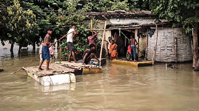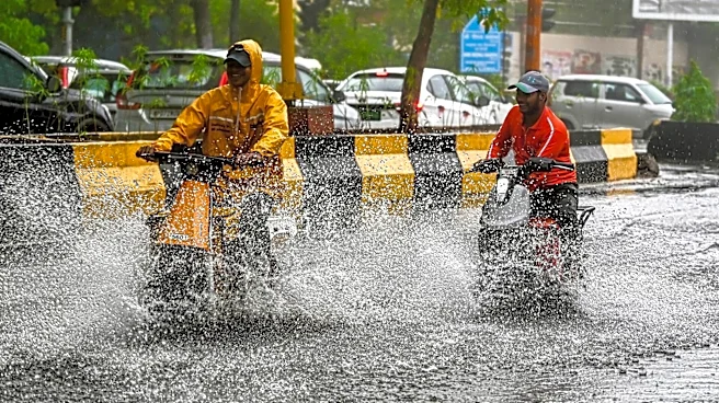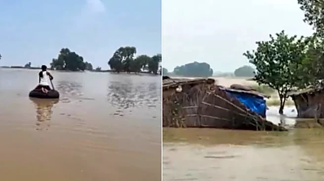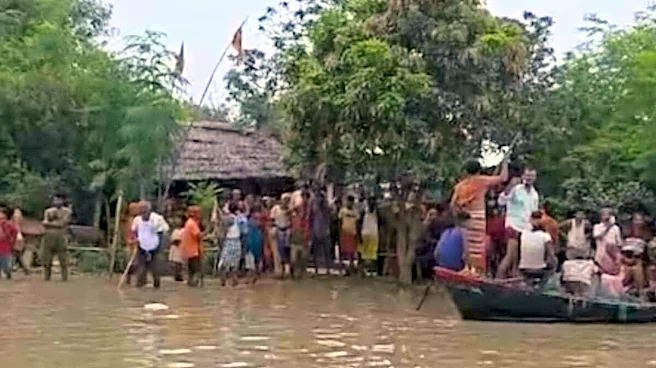


The flood situation in Bihar has escalated dramatically, with over 22 lakh (2.2 million) people now heavily affected across 11 to 12 districts.
The crisis reached a historic milestone over the weekend as the Ganga River breached its Highest Flood Level (HFL) mark at Patna’s Gandhi Ghat and Pandarak, shattering previous 10-year records and submerging portions of the state capital.
CURRENT STATUS OF THE DELUGE
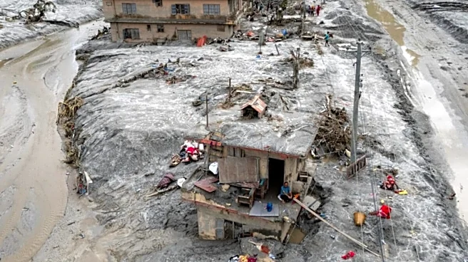
Heavy flooding continues to ravage low-lying and riverine areas. While parts of the northern districts remain submerged, a fresh breach in the Mahi River embankment in the Saran district has severely worsened conditions, trapping many residents on their roofs. The Ganga, Gandak, Kosi, Budhi Gandak, Punpun, and Bagmati are all flowing dangerously above their warning marks.
However, the state’s Water Resources Department noted a slight drop in water release from the Indrapuri Barrage on the Sone River, providing marginal relief near Patna as waters slowly begin a stabilizing or receding trend in select pockets. Major Himalayan rivers, including the Ganga, Kosi, Gandak, Bagmati, and Adhwara, have swollen past danger levels. Evacuations are actively underway, and all 36 gates of the Valmikinagar Barrage were opened to manage the sudden massive water surges. The government has mobilized 10 National Disaster Response Force (NDRF) teams and 27 State Disaster Response Force (SDRF) teams, alongside nearly 700 rescue boats, to conduct emergency evacuations and set up community kitchens.
WEATHER FORECAST
The India Meteorological Department (IMD) has issued a Yellow Alert for 13 districts, anticipating widespread light-to-moderate rain with isolated heavy downpours. Severe lightning activity and strong winds up to 30 kmph are also expected, adding a dangerous layer of risk to ongoing rescue and rehabilitation operations.
Multiple makeshift bridges have been washed away, embankments have breached in several places, and entire communities are isolated from nearby regions.
The floodwater is carrying heavy sewage, debris, and carcasses downstream from the high-casualty disaster in Nepal. The Bihar Government’s Dairy, Fisheries, and Animal Resources Department has issued an urgent public health advisory warning residents not to consume or trade “unfamiliar or unusual large fish” caught from the floodwaters due to acute risks of pollution and disease.
WHAT IS CAUSING IT?
Incessant rainfall over the last week has dumped record-breaking amounts of rain across North Bihar, immediately saturating the ground and filling the local river basins to capacity.
Roughly 73–76% of North Bihar is naturally flood-prone. The plains form a flat basin where multiple massive perennial rivers converge before entering the Ganga.
THE CRUCIAL NEPAL LINK
The scale of Bihar’s flooding is directly tied to a catastrophic disaster that occurred in Nepal.
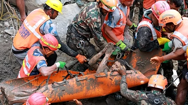
In late August, a massive glacial collapse occurred near the mountainous Nepal-Tibet border, causing an unprecedented flash flood that tore through Nepal, leaving over 1,200 dead and thousands missing.
The initial surge heavily flooded Nepal’s river systems (like the Trishuli and Bhote Koshi). These rivers naturally flow south into India, cross the border, and transform into North Bihar’s primary rivers—such as the Gandak and Kosi.
Because Nepal has also experienced continuous heavy downpours, its catchments have been discharging extreme quantities of water downstream into Bihar. This sudden, massive volume of water hit Bihar’s already rain-swollen plains, resulting in the current widespread flooding and embankment failures.
With agency inputs