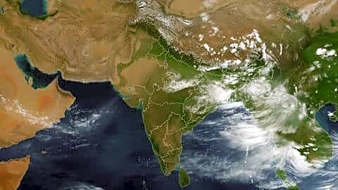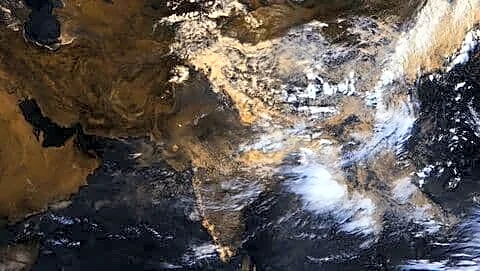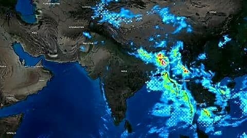

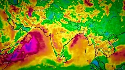
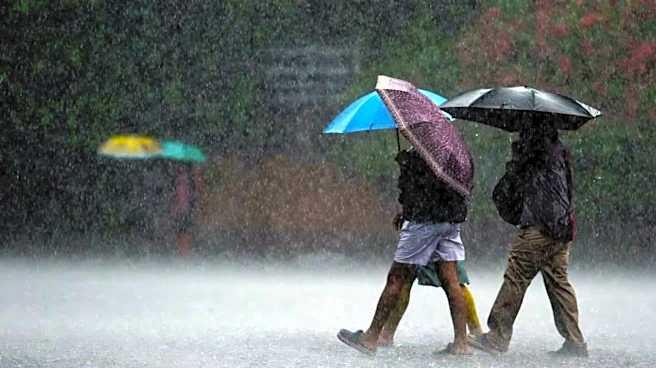



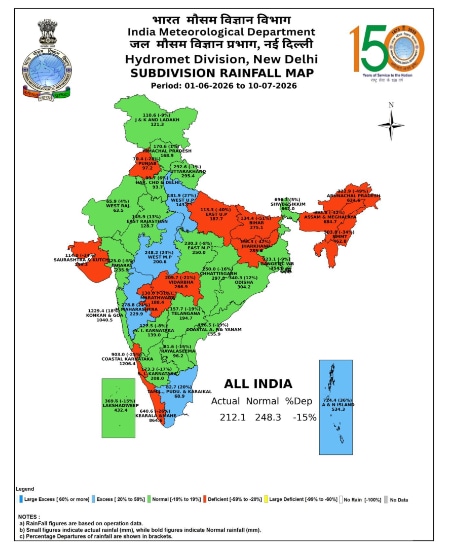
The sudden surge in monsoon with an intense spell of rainfall over the week may have defied expectations of El Niño weakening the monsoon. Scientists, however, say that an even more powerful force may be at play—global warming. Large parts of India witnessed heavy rains from July 2 to 8, with Central India, which forms the core monsoon zone of the country, recording rainfall that was nearly 137% above the long-period average. The staggering -40% rainfall deficit left in June, which also ended as India’s fifth driest June since 1905, fell to -14% in just ten days. The southwest monsoon, which remained sluggish all through June, also accelerated and covered the entire country by 9th July—a day later than its normal date.
The intense spell followed
the India Meteorological Department (IMD)’s forecast of below-normal rainfall in July under the negative influence of El Niño, which had already formed in June.
Former Director-General of IMD, Dr KJ Ramesh, says El Niño has had limited influence on the current active monsoon spell. “There were two intense rain-bearing systems—one over the Bay of Bengal and the other over Gujarat and the north Arabian Sea. Both were feeding into each other, becoming intense, leading to extremely heavy rains over the region. This is a normal occurrence during the monsoon season,” he explains.
The low pressure that formed over the Bay of Bengal on July 2 intensified into a depression as it moved north-westwards towards Madhya Pradesh and Uttar Pradesh, increasing rainfall along the way. While the second system—an active offshore trough on the west coast—triggered extremely heavy rains over Konkan-Goa and Madhya Maharashtra during the same period.
It Is Not Just About El Niño
The intensity of the rains was so high that Mumbai city received nearly 873.1 mm rainfall against the normal of 212 mm during the week. In Pune, it crossed 415 mm against the normal of 69.5 mm. Overall, Madhya Maharashtra saw rainfall that was 246% above the long-period average. Scientists point out that such heavy spells of rain are becoming more common during the monsoons in recent years, irrespective of global factors like El Niño.
“The question is not just about what El Niño is doing. The outcome is usually due to a combination of factors. Monsoon has always been influenced by intra-seasonal variations. This time too, there were strong circulations over the Bay of Bengal and the Arabian Sea, leading to intense rainfall. But what is important to note is that global warming is changing the circulation patterns. It has increased the moisture-holding capacity of the atmosphere so much that we are now witnessing shorter but intense spells of heavy rainfall more often now,” remarks Dr Raghu Murtugudde, Professor Emeritus at Kotak School for Sustainability, Indian Institute of Technology (IIT)-Kanpur.
With the monsoon now heading into a break period, he says, it is likely to become more susceptible to El Niño impact, which leads to more dry days. With global warming becoming a major player influencing the weather worldwide, climate scientists say it is also making long-term predictions difficult.
A Very Strong El Niño By October-December, Warns NOAA
A global ocean phenomenon, El Niño occurs when sea-surface temperatures across the equatorial Pacific Ocean cross a certain warming threshold. It is linked to below-normal monsoons over India, which is also consistent with this year’s monsoon forecast by the India Meteorological Department (IMD).
According to the US-based National Oceanic and Atmospheric Administration (NOAA), a weak El Niño has already formed in June and is likely to intensify through the year and continue till early 2027. “There is an 81% chance of a very strong El Niño during October-December that would rank among the largest El Niño events in the historical record going back to 1950,” it said in its latest forecast.