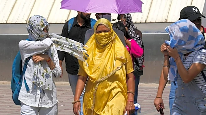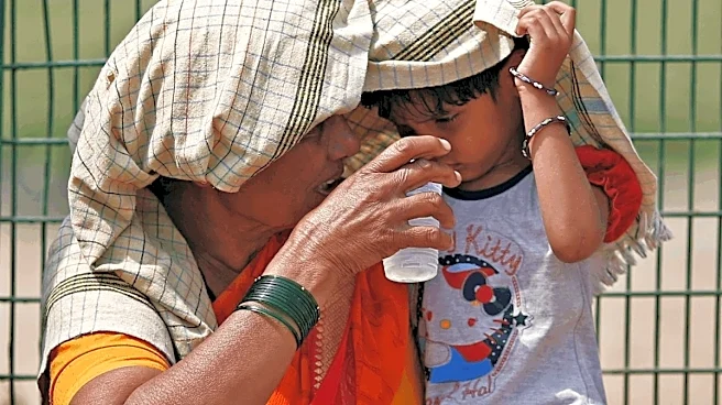

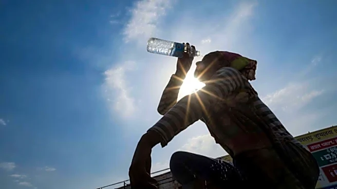


Delhi continued to experience hot weather on Tuesday, with the “feels like” temperature climbing to 53.5 degrees Celsius by 5.30 pm, even though the actual temperature hovered around 40–41 degrees Celsius across most monitoring stations.
Meteorologists attributed the uncomfortable conditions to the combined effect of hot, dry winds from Pakistan and moisture-laden southwesterly winds arriving from the Arabian Sea, PTI reported. The dry air kept daytime temperatures elevated, while the added humidity made the heat feel significantly more intense.
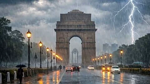
According to Mahesh Palawat of Skymet, the interaction between these contrasting air masses results in cloud formation but does not provide sufficient moisture for widespread rainfall. By the time clouds
begin developing, typically in the late afternoon, the day’s peak temperature has already been reached, allowing both the recorded temperature and the “feels like” temperature to remain exceptionally high.
No Heatwave In Delhi Today
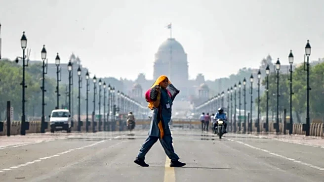
Data from the India Meteorological Department (IMD) showed Safdarjung recording 40.5°C, Palam 41.0°C, Lodhi Road 40.1°C and Ayanagar 40.1°C. The Ridge station emerged as the hottest location at 41.5°C, with temperatures across the city ranging between 2 and 4.8 degrees above normal.
Despite the sweltering conditions, the IMD said Delhi did not officially experience a heatwave. “As per data received until now, the heatwave criteria is satisfied only at one station over the subdivision of Haryana-Chandigarh-Delhi. No heatwave was realised over Delhi today as we need a minimum of two stations over the subdivision of Haryana-Chandigarh-Delhi to satisfy the heatwave criteria,” the IMD said, PTI reported.
The weather department also reported trace rainfall in parts of the capital. Safdarjung, Palam, Lodhi Road and Ayanagar recorded light precipitation until 8.30 am, while the Ridge station remained dry.