
What's Happening?
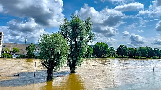
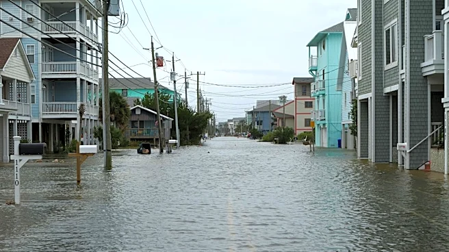
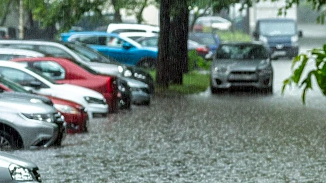
Florida's east coast is currently experiencing significant flooding due to heavy rainfall, with some areas receiving over one foot of rain. Flood watches and flash flood warnings are active, and the St.
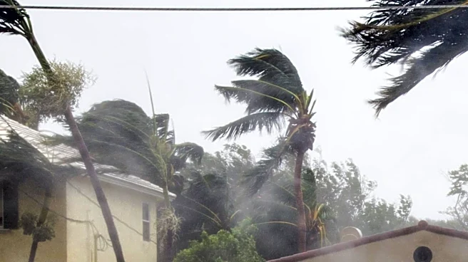
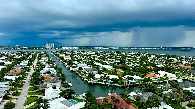
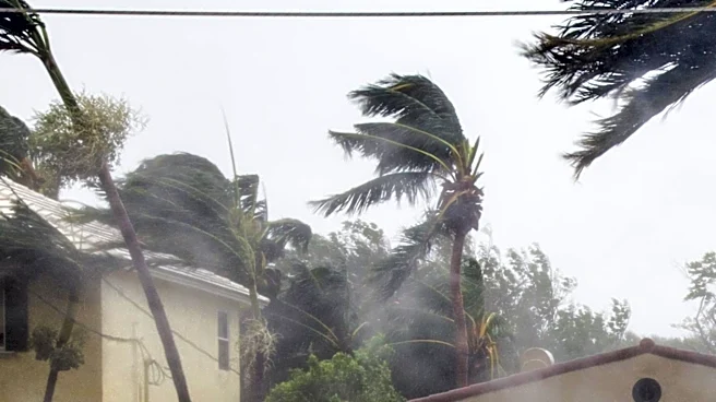
Johns River at Cocoa has surpassed its all-time record peak, with forecasts indicating further rises. This comes weeks after the same region received nearly two feet of rain, leaving the ground saturated. Meanwhile, the Bay Area is encountering scattered showers, gusty winds, and choppy waters. Forecasters predict mostly cloudy skies with scattered showers and a slight chance of thunderstorms for the Bay Area, with highs in the mid-to-upper 70s. A small craft advisory is in effect for Tampa Bay and inland waters due to rough conditions.
Why It's Important?
The contrasting weather conditions across Florida highlight the varied impacts of weather systems on different regions within the state. The severe flooding on the east coast poses significant risks to infrastructure, property, and public safety, potentially leading to substantial economic losses and displacement for affected communities. The saturation of the ground from previous rainfall exacerbates the current flooding, increasing the likelihood of prolonged inundation and damage. For the Bay Area, while less severe, the scattered showers and choppy waters can still disrupt local activities, particularly marine operations, impacting recreational and commercial boating. The ongoing weather events underscore the importance of robust emergency preparedness and infrastructure resilience in coastal regions susceptible to heavy rainfall and flooding.
What's Next?
A low-pressure system is expected to develop and track up the eastern seaboard by the weekend, potentially becoming subtropical or tropical as it moves towards North Carolina's Outer Banks and southern New England. As this system moves away from Florida, local weather conditions are anticipated to clear, leading to a favorable weekend forecast, particularly by Sunday. However, the exact crest height the St. Johns River will reach at Cocoa remains unconfirmed, and specific damage estimates or road closure lists for the affected east coast communities have not yet been released. Residents in flood-prone areas should continue to monitor local advisories and prepare for potential further impacts.
Beyond the Headlines
The persistent and severe rainfall events in Florida, particularly on the east coast, raise broader questions about climate change and its influence on extreme weather patterns. The repeated saturation of the ground and record-breaking river levels could indicate a long-term shift in regional hydrology, necessitating re-evaluation of urban planning, drainage systems, and flood mitigation strategies. The economic implications extend beyond immediate damage, potentially affecting insurance markets, property values, and the state's tourism industry. Furthermore, the differing impacts across the state underscore the need for localized climate adaptation strategies, recognizing that even within a single state, communities face distinct environmental challenges requiring tailored responses.