


What's Happening?
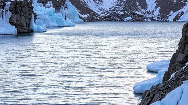
In 2023, a mysterious seismic pulse was detected in Greenland, believed to be caused by a seiche following a landslide in Dickson Fjord. The phenomenon was initially elusive due to limitations in previous satellite technology. However, NASA's Surface
Water Ocean Topography (SWOT) satellite, equipped with the Ka-band Radar Interferometer, successfully identified the seiche. The satellite's high-resolution measurements revealed the standing wave's oscillations, which were triggered by a megatsunami and trapped by ice in the fjord. The study, led by Thomas Monahan of Oxford University, utilized SWOT data to confirm the presence of the seiche, which had been losing intensity over time.
Why It's Important?
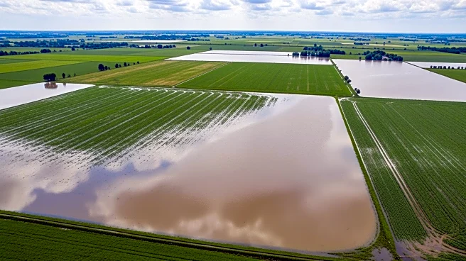
The confirmation of the seiche in Greenland highlights the advancements in satellite technology, particularly the capabilities of NASA's SWOT satellite. This development is significant for the scientific community as it provides a new method to study oceanic processes in challenging environments like fjords. The ability to detect and analyze such phenomena can lead to better understanding of seismic activities and their impacts on the environment. This research also underscores the importance of international collaboration in advancing earth observation technologies, which can have broader implications for climate studies and disaster preparedness.
What's Next?
The findings from the SWOT satellite may prompt further research into similar phenomena in other regions, potentially leading to improved predictive models for seismic and oceanic events. Scientists may explore the application of SWOT's technology in other enclosed water bodies to study seiches and their effects. Additionally, the study could influence future satellite missions, encouraging the development of more advanced instruments capable of capturing high-resolution data in complex environments.
Beyond the Headlines
The study of the seiche in Greenland not only advances scientific knowledge but also raises awareness about the potential impacts of climate change on natural disasters. As ice melts and sea levels rise, the frequency and intensity of such events may increase, posing risks to coastal communities. The research highlights the need for continued investment in satellite technology to monitor and mitigate these risks effectively.