




What's Happening?
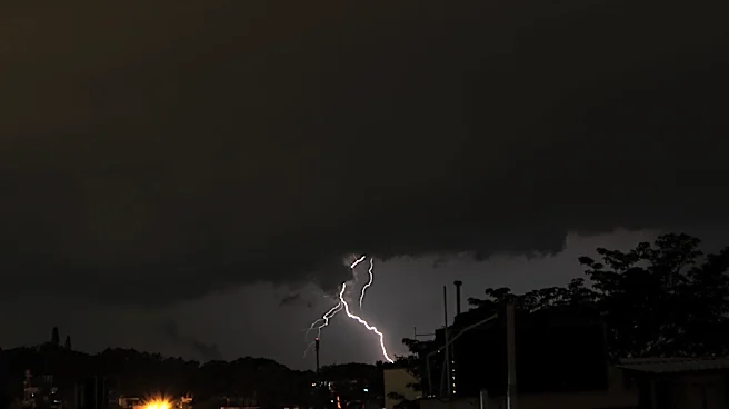
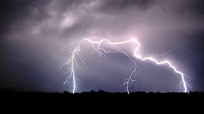
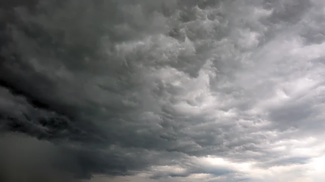
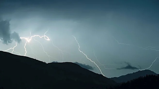
Nimbostratus clouds are characterized as thick, dark, and widespread cloud layers that are responsible for producing continuous rain or snow over broad areas. Unlike cumulonimbus clouds, which are associated with more dramatic weather events like quick-hitting
extreme downpours, nimbostratus clouds are known for their prolonged precipitation. Their base is often diffuse or obscured by ongoing precipitation and lower, ragged clouds, and they lack the distinct towers, anvils, and lightning typically seen with cumulonimbus formations. These clouds can extend from relatively close to the ground up into the middle cloud level, contributing to their dark appearance due to their thickness. Of the ten main cloud types, nimbostratus and cumulonimbus are the only two consistently producing precipitation.
Why It's Important?
Understanding nimbostratus clouds is crucial for various sectors, including agriculture, transportation, and public safety. For agriculture, continuous rainfall can significantly impact crop growth, soil saturation, and planting schedules. In transportation, prolonged rain or snow can lead to hazardous driving conditions, reduced visibility, and potential delays or cancellations in air and ground travel. Public safety agencies rely on accurate cloud identification to issue appropriate weather advisories, helping communities prepare for extended periods of precipitation, which can contribute to flooding or other weather-related hazards. The distinction between nimbostratus and cumulonimbus clouds is vital for forecasting the duration and intensity of precipitation, allowing for more precise planning and mitigation strategies.
What's Next?
Meteorological services will continue to refine their forecasting models to better predict the formation and movement of nimbostratus clouds, enhancing the accuracy of long-duration precipitation forecasts. This will involve ongoing research into cloud dynamics and atmospheric conditions that favor nimbostratus development. Public awareness campaigns may also emphasize the characteristics of nimbostratus clouds to help individuals understand and prepare for extended periods of rain or snow. Furthermore, advancements in satellite imagery and radar technology will likely provide more detailed insights into the structure and precipitation output of these cloud systems, leading to improved real-time weather monitoring and more effective public warnings.
Beyond the Headlines
The study of nimbostratus clouds extends beyond immediate weather forecasting to broader climate research. Their role in the global water cycle and their interaction with other atmospheric phenomena are key areas of scientific inquiry. Understanding how these clouds form and behave under changing climate conditions can provide valuable data for climate models, helping to predict future precipitation patterns and their potential impacts on water resources, ecosystems, and human infrastructure. The subtle differences in cloud types, like the distinction between nimbostratus and cumulonimbus, highlight the complexity of atmospheric science and the continuous effort required to unravel the intricate mechanisms that govern Earth's weather and climate systems.