




What's Happening?
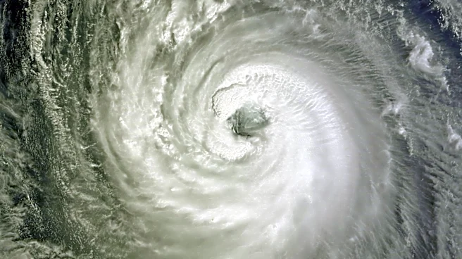
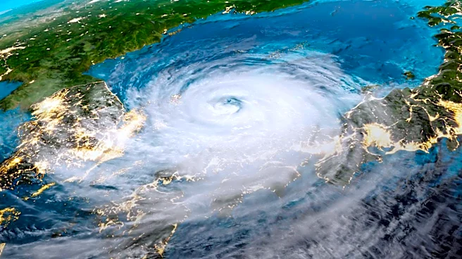
Typhoon Dolphin, a powerful storm, is currently moving westward across the western Pacific Ocean and is expected to threaten China's eastern coastline later this week. According to the China Meteorological Administration, the typhoon is moving at a speed
of 20 to 25 kilometers per hour and is anticipated to make landfall around Sunday between the Yangtze River estuary and Zhejiang province. This could bring strong winds and heavy rain to Shanghai and the provinces of Zhejiang, Jiangxi, and Anhui. The National Climate Center has warned of an active tropical cyclone season, with six to seven tropical cyclones expected to develop in the region in August, surpassing the long-term average.
Why It's Important?
The potential impact of Typhoon Dolphin on China's eastern coast could be significant, affecting major urban centers like Shanghai. The storm's landfall could disrupt economic activities, particularly in industries reliant on coastal operations. Additionally, the heavy rainfall and strong winds could lead to flooding, infrastructure damage, and displacement of communities. The active cyclone season poses ongoing risks to the region, necessitating preparedness and response measures from local governments and communities to mitigate potential damages.
What's Next?
As Typhoon Dolphin approaches, local governments are urged to strengthen maritime safety measures, evacuate offshore workers, and reinforce coastal infrastructure. The National Meteorological Center will continue to issue updated forecasts and warnings as the storm develops. The track of the typhoon remains uncertain after it moves into the East China Sea, with potential scenarios including a northward turn offshore or landfall between the Yangtze River estuary and the Shandong Peninsula.