
What's Happening?
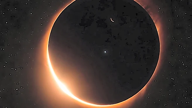
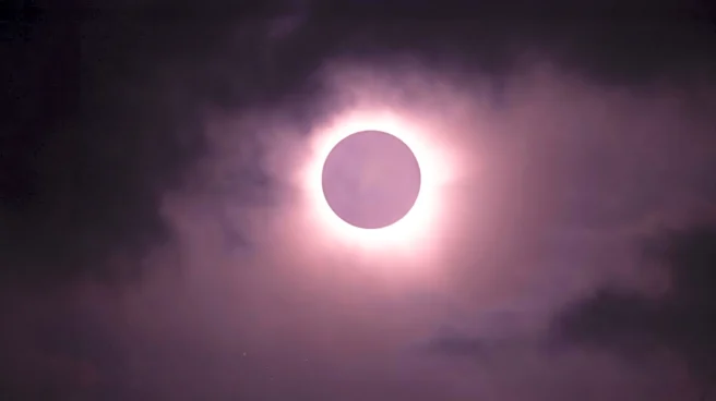
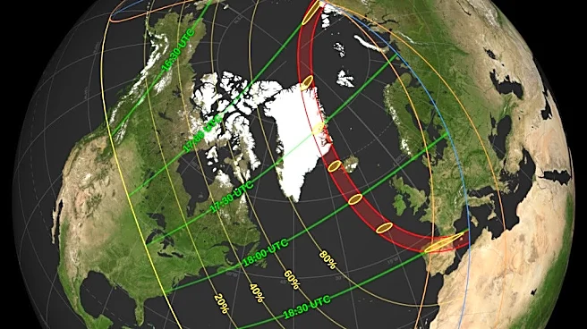
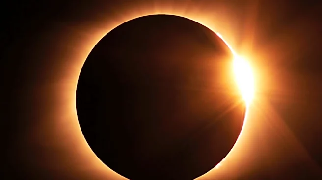
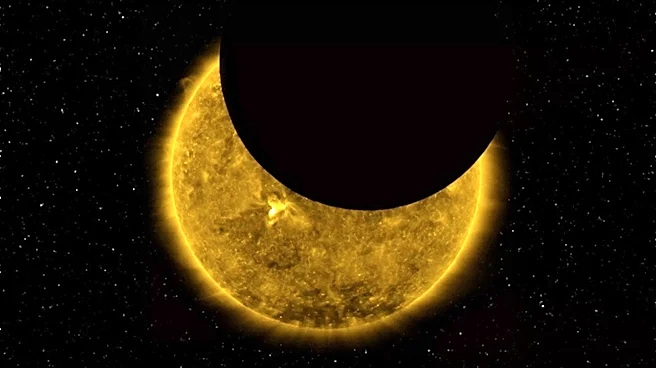
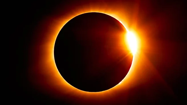
Michael Zeiler, an eclipse cartographer and founder of EclipseAtlas.com, is preparing to observe an upcoming total solar eclipse from the fjords of Greenland. Zeiler has been creating eclipse maps for
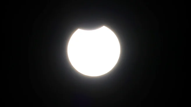
over two decades, which help the public visualize the path of totality. These maps are based on extensive astronomical observations and mathematical calculations, allowing scientists to predict where the moon's shadow will fall on Earth. The upcoming eclipse will be visible in parts of Greenland, Iceland, northern Spain, and northeastern Portugal. Outside the path of totality, a partial eclipse will be visible in parts of Europe, Africa, and North America. The maps are highly accurate, though there is always room for improvement, with current precision down to about a kilometer.
Why It's Important?
Eclipse maps are crucial for both scientific and public engagement purposes. They allow scientists to plan observations and experiments during eclipses, which can provide insights into solar and atmospheric phenomena. For the public, these maps offer a chance to experience the awe-inspiring event of a total solar eclipse, which can foster interest in astronomy and science. The ability to predict eclipses with high accuracy also demonstrates the advancements in astronomical science and technology, contributing to our understanding of celestial mechanics and the Earth-moon-sun system.
What's Next?
Following the upcoming eclipse, the next total solar eclipse will occur on August 2, 2027, visible in North Africa and the Middle East. The next total solar eclipse visible from parts of the contiguous United States will not occur until August 23, 2044. Scientists will continue to refine eclipse predictions, potentially achieving even greater accuracy in the future. This ongoing research will likely involve data from solar missions and improved models of the Earth-moon-sun system.