




What's Happening?
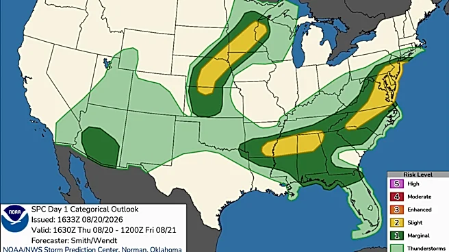
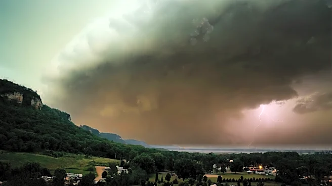
Central and eastern Wisconsin are under a marginal risk (1/5) for severe weather on Friday, with gusty winds and hail identified as the primary threats. Skies are expected to be mainly cloudy to overcast, with highs in the mid to upper-70s. Storms are anticipated
to flare up during the afternoon, particularly east of Highway 51/I-39, with the highest likelihood between 3-7 PM. While storms will be more scattered closer to the Green Bay metro area, they are still possible locally. A cold front is expected to pass through after Friday night's storms, bringing cooler temperatures and breezy winds for the upcoming weekend. Saturday will feature winds of 10-15 MPH with gusts up to 25 MPH, and mainly sunny to partly cloudy skies for most areas, though a few trailing showers cannot be ruled out to the east and northeast.
Why It's Important?
The threat of severe weather, even at a marginal risk level, is important for public safety and local infrastructure. Gusty winds can cause power outages, damage property, and create hazardous driving conditions, while hail can lead to crop damage and vehicle dents. For residents and businesses in central and eastern Wisconsin, being aware of these conditions is crucial for taking necessary precautions. The shift to cooler temperatures and breezy conditions over the weekend, following the storms, will impact outdoor activities and potentially agricultural operations. This weather pattern also highlights the dynamic nature of regional climate, requiring continuous monitoring and preparedness from local emergency services and the public.
What's Next?
After the anticipated storms on Friday, a cold front will bring cooler temperatures and breezy conditions to central and eastern Wisconsin for the weekend. Saturday will see winds up to 25 MPH and mainly sunny to partly cloudy skies, with a slight chance of isolated showers. Sunday is expected to have mainly clear skies and highs in the mid-70s. Looking ahead to next week, Monday will start with mainly sunny skies, coinciding with the first day of school for many districts. Tuesday and Wednesday bring the next chance for rain and thunderstorms across the region, though it is too early to determine the exact rainfall amounts or severe weather potential. Residents should continue to monitor local weather forecasts for updates.
Beyond the Headlines
The recurring pattern of severe weather threats, even localized ones, underscores broader climate trends and their impact on regional communities. While this specific event is a short-term forecast, the increasing frequency or intensity of such weather phenomena can have long-term implications for urban planning, agricultural practices, and emergency preparedness strategies. Communities may need to invest more in resilient infrastructure and public awareness campaigns. Furthermore, the timing of these weather events, such as the start of the school week, adds layers of complexity for local authorities in ensuring safety and minimizing disruption. The continuous adaptation to changing weather patterns becomes a critical aspect of regional governance and community resilience.