


What's Happening?
The National Weather Service’s Climate Prediction Center (CPC) has released its latest seasonal weather outlook, indicating a strengthening El Niño event. This phenomenon, characterized by warmer-than-average sea surface temperatures in the eastern and
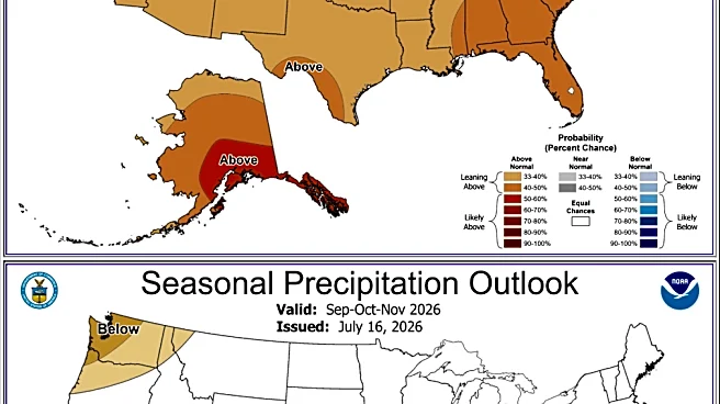
central tropical Pacific Ocean, is projected to intensify through the end of the year. There is a greater than 90% chance of a very strong El Niño event by year-end, with a nearly 70% chance it could be a record-setting event since records began in 1950. This warming is attributed to weaker-than-normal easterly trade winds across the Pacific. For the Pacific Northwest, the three-month winter period from December through February shows a 60% to 70% chance of warmer-than-average temperatures. Conversely, the southern half of the U.S. is expected to experience above-average precipitation, which could help alleviate drought conditions but also increase the risk of flooding and landslides.
Why It's Important?
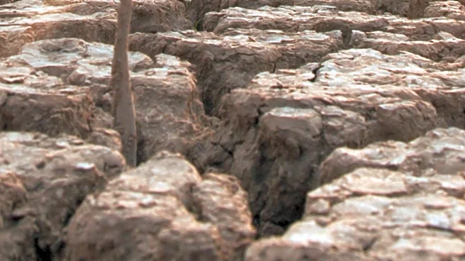
This strong El Niño has significant implications for various sectors across the U.S. The warmer and drier conditions anticipated in the Pacific Northwest could lead to another below-average mountain winter snowpack, marking the fifth consecutive year of such conditions. This would further strain water supplies crucial for agriculture, fish, electric power generation, and drinking water, and increase the likelihood of an active wildfire season with associated smoke and air quality issues next year. In contrast, the increased precipitation in the southern U.S., particularly the Colorado River basin, offers a potential rebound for much-needed water resources, but also poses risks of severe weather events. The shift in weather patterns could impact regional economies, public health due to air quality, and infrastructure resilience against floods and wildfires.
What's Next?
The El Niño event is expected to continue strengthening through the end of the year and is likely to wane well into next year. However, a potential 'El Niño hangover' is anticipated, with ongoing chances of warmer-than-average temperatures extending through late 2027, raising concerns for future wildfire seasons. Residents in affected regions are advised to prepare for potential hazardous fall and winter weather, including reviewing emergency preparedness plans for homes, vehicles, businesses, and pets. This includes monitoring local weather forecasts and official advisories from agencies like the CPC. The long-term implications for water management and agricultural planning will require continued monitoring and adaptive strategies from local and federal authorities.
Beyond the Headlines
The current El Niño event highlights the complex interplay between oceanic and atmospheric conditions and their far-reaching effects on climate patterns. While El Niño typically reduces hazardous winter weather in the Pacific Northwest compared to La Niña or neutral conditions, the projected record strength of this event introduces uncertainties. The potential for both drought-exacerbating warmth in one region and flood-inducing storms in another underscores the need for comprehensive climate resilience strategies. This event also brings into focus the challenges of long-range weather forecasting, as other short-term factors like the Arctic Oscillation can influence regional weather, making precise predictions difficult beyond a few weeks. The broader societal impact includes potential shifts in recreational activities, energy consumption patterns, and the need for enhanced disaster preparedness.