






What's Happening?
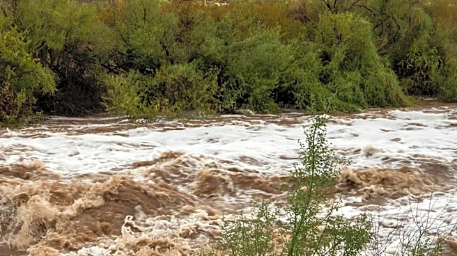
Tucson, Arizona, is bracing for significant storm activity this week, with the National Weather Service issuing a Flash Flood Watch for Monday from 2 PM to 10 PM. The watch covers most of Pima County, including the Tucson Metro area, as well as Western
Santa Cruz County and Southern Pinal County. The forecast predicts elevated storm potential on Wednesday as well, with a 60% chance of rain during the day and 50% at night. The storms are expected to bring strong winds, possible blowing dust, and flood risks. Temperatures are anticipated to cool down into the 90s during the workweek, providing some relief from the heat.
Why It's Important?
The issuance of a Flash Flood Watch highlights the potential for severe weather conditions that could lead to dangerous flooding, impacting residents, infrastructure, and local businesses. The forecasted storms and associated risks necessitate preparedness measures from both the public and emergency services to mitigate potential damage and ensure safety. The cooling temperatures may offer some respite from the heat, but the weather conditions underscore the importance of climate resilience and adaptive strategies in the region.
What's Next?
Residents in the affected areas are advised to stay informed about weather updates and prepare for potential flooding. Emergency services may increase readiness to respond to weather-related incidents. The community is encouraged to secure property, avoid travel during severe weather, and follow safety advisories. The situation will be monitored closely, with further updates expected as weather conditions evolve.