



What's Happening?
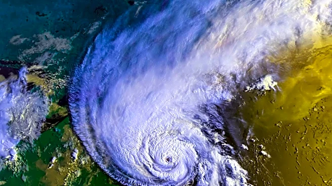
A new depression, named Storm Charles, is set to impact the Iberian Peninsula, bringing severe weather conditions to Portugal and Spain. This storm follows closely after depression Bruna, which has already affected the region. According to the Portuguese
Institute for Sea and Atmosphere (IPMA), Storm Charles is expected to worsen weather in Madeira starting late Tuesday and on mainland Portugal by Wednesday, prompting orange-level warnings. The Agencia Estatal de Meteorología (Aemet) in Spain also anticipates Wednesday to be the most severe period, with unstable conditions continuing into Thursday. The storm is predicted to bring torrential rain, with accumulations potentially exceeding 100 mm in 12 hours in Madeira's mountain regions, and winds that could reach over 100 km/h, with gusts up to 130 km/h in high-ground areas. Along the coast, southwesterly waves of 4 to 6 meters are forecast south of Cabo Carvoeiro from Wednesday afternoon. This marks Charles as the third named storm of the 2026/2027 season.
Why It's Important?
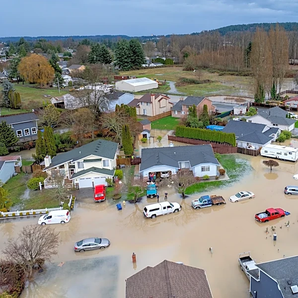
The arrival of Storm Charles poses significant risks to public safety and infrastructure in Portugal and Spain. The anticipated torrential rain could lead to widespread flooding, particularly in areas already saturated from previous weather systems like depression Bruna. High winds exceeding 100 km/h present a danger of falling trees, power outages, and damage to buildings and other structures. The rough sea conditions will impact coastal activities, potentially disrupting shipping and fishing industries, and posing hazards to coastal communities. For residents, the orange-level warnings indicate a moderate to high risk, necessitating preparedness and adherence to safety guidelines from civil protection authorities. The economic impact could include costs associated with emergency response, repairs to damaged infrastructure, and potential disruptions to local businesses and tourism, especially in coastal and mountainous regions.
What's Next?
As Storm Charles approaches, meteorological institutes in Portugal (IPMA) and Spain (Aemet) will continue to monitor its trajectory and intensity, issuing updated forecasts and warnings. Orange-level warnings are already in place, with the possibility of upgrades in some regions depending on the storm's evolution. Civil protection authorities in Portugal, such as ANEPC, have urged the public to take precautionary measures. These recommendations include avoiding travel along the coastline, not crossing flooded areas, exercising caution in wooded areas due to falling branches, and securing loose outdoor objects. Residents are also advised to clear rainwater drainage systems and reinforce windows and shutters. Emergency services will likely be on high alert to respond to incidents such as flooding, wind damage, and potential evacuations. The immediate focus will be on ensuring public safety and minimizing damage as the storm makes landfall and passes through the Iberian Peninsula.
Beyond the Headlines
The recurring nature of severe weather events like Storm Charles highlights broader climate patterns and the increasing need for robust climate adaptation strategies in vulnerable regions. While this specific storm is a subtropical system, its intensity and potential for widespread disruption underscore the challenges faced by coastal nations. The economic and social resilience of communities in Portugal and Spain will be tested, prompting discussions on long-term infrastructure improvements, early warning systems, and public awareness campaigns regarding extreme weather preparedness. The impact on tourism, a significant industry for both countries, could also lead to re-evaluations of seasonal planning and risk management. Furthermore, the need for international cooperation in meteorological forecasting and disaster response becomes more evident as these weather systems often transcend national borders, requiring coordinated efforts to mitigate their effects.