
What's Happening?
The Iowa Department of Transportation (DOT) and local governments in Iowa are actively using speed limit maps as crucial tools for infrastructure investments, zoning decisions, and traffic calming measures.
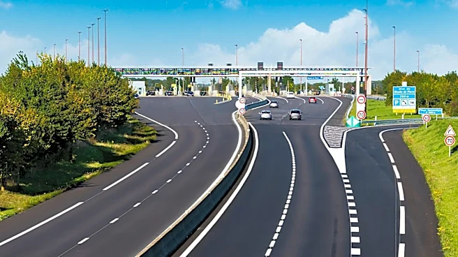
These maps are not merely for navigation but serve as foundational data for policy alignment with actual driving behavior and for enhancing public trust. Iowa's road classifications, including interstate highways, primary roads, secondary roads, and urban streets, each have baseline speed limits established by state law and local authorities. The Iowa DOT collaborates with counties and cities to adjust these limits based on engineering studies and prevailing traffic conditions. While state law provides the overarching framework, local jurisdictions have the flexibility to implement lower or, in specific justified instances, higher limits. This comprehensive approach ensures that speed limits are dynamic and reflect current road conditions and future growth projections, contributing to overall road safety and efficiency across the state.
Why It's Important?
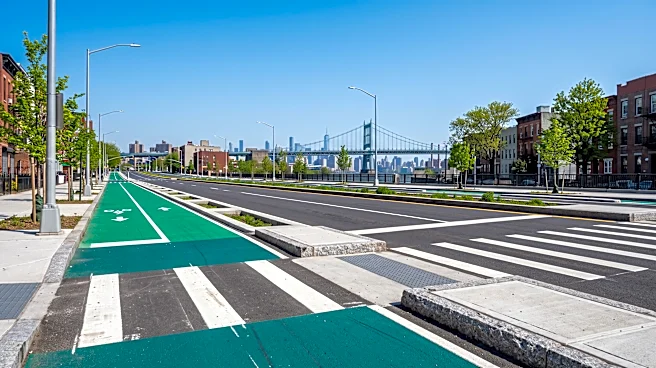
The strategic use of speed limit maps by Iowa's transportation authorities is vital for several reasons. Firstly, it directly impacts public safety by informing decisions that reduce crash severity and protect vulnerable road users like pedestrians and cyclists. By aligning speed limits with data-driven insights, authorities can create more predictable and safer driving environments. Secondly, these maps are instrumental in optimizing traffic flow, which in turn helps reduce congestion and fuel consumption, benefiting both drivers and the environment. For local governments, the maps provide the necessary data to justify infrastructure projects and zoning changes, ensuring that urban and rural development is supported by appropriate traffic management. This collaborative effort between state and local entities fosters a consistent and effective approach to road governance, enhancing the quality of life for Iowa residents and visitors alike.
What's Next?
As technology continues to advance, the accuracy and accessibility of speed limit map resources in Iowa are expected to improve further. The integration of real-time traffic data, connected vehicle technology, and advanced driver-assistance systems will likely reshape how drivers interact with and adhere to speed limits. The Iowa DOT and local authorities will continue to update these maps to reflect legislative changes, roadway modifications, and new local ordinances. Ongoing collaboration between state agencies, counties, and cities will be crucial to ensure that speed limits remain relevant and effective in managing traffic and promoting safety. Drivers will continue to be responsible for adhering to posted speed limits, with digital tools serving as supplementary aids rather than definitive sources, emphasizing the importance of observing physical road signs.
Beyond the Headlines
The sophisticated use of speed limit maps in Iowa highlights a broader trend in modern urban and transportation planning: the increasing reliance on data-driven policy-making. This approach moves beyond traditional, often anecdotal, methods to create a more scientific and responsive framework for managing public infrastructure. Ethically, this ensures that decisions regarding speed limits are based on objective criteria rather than subjective opinions, potentially leading to fairer enforcement and greater public trust. Legally, it provides a robust justification for speed limit changes, making them less susceptible to challenges. Culturally, it fosters a greater understanding among the public about the rationale behind traffic regulations, encouraging compliance and a shared responsibility for road safety. This systematic approach could serve as a model for other states looking to enhance their traffic management and infrastructure planning strategies.