
What's Happening?
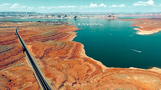
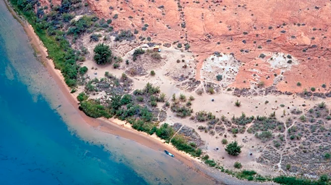
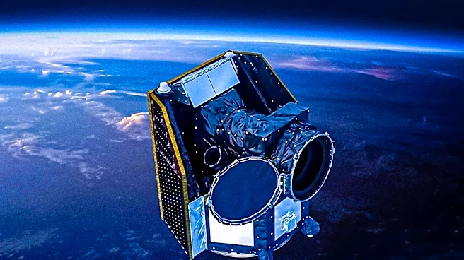
NASA satellites have observed a dramatic increase in water levels at Navajo Reservoir in the U.S. Southwest, following back-to-back extreme rain events in late October and early November 2026. Images acquired
by the Operational Land Imager (OLI) on Landsat 9 on September 20 and November 7 show the reservoir's water level rising by nearly 60 feet (18 meters). According to data from the U.S. Army Corps of Engineers, the reservoir reached its highest level since August 2019 and stood at 108 percent of its average capacity for November 7, a stark contrast to its 60 percent capacity on September 20. The heavy rainfall, which inundated the Four Corners region, caused rivers like the San Juan and Piedra to swell, leading to significant flooding in areas such as Pagosa Springs, Colorado. This precipitation has alleviated short-term drought conditions in the Southwest, which had been exacerbated by a snow drought in winter 2025-26 and high temperatures in 2026.
Why It's Important?
The rapid rise in Navajo Reservoir's water levels and the widespread flooding highlight the immediate and significant impact of extreme weather events on water resources and communities in the U.S. Southwest. While the heavy rains provided much-needed short-term drought relief in a region historically plagued by long-term drought, they also brought destructive floods, necessitating evacuations and causing property damage. This event underscores the dual challenge of water management in arid regions: coping with scarcity and managing excess. The satellite observations from NASA are crucial for monitoring these changes, providing valuable data for water resource managers, emergency responders, and climate scientists. Understanding these hydrological shifts is vital for developing resilient infrastructure and effective disaster preparedness strategies in a changing climate, especially as El Niño patterns are noted to increase the likelihood of moisture-laden storms in the Southwest.
What's Next?
Following the extreme rainfall, water resource managers will continue to monitor Navajo Reservoir's levels and the flow rates of associated rivers to manage water releases and ensure dam safety. The short-term drought relief will likely be assessed in the coming months to determine its long-term impact on regional water supplies and agricultural practices. Communities affected by flooding will focus on recovery efforts, including damage assessment and infrastructure repair. Scientists will analyze the precipitation data and its correlation with El Niño patterns to refine climate models and improve future weather predictions for the Southwest. This event may also prompt further discussions and planning among regional stakeholders regarding water conservation strategies, flood mitigation measures, and the adaptation of water management policies to address increasingly variable weather patterns influenced by climate change.
Beyond the Headlines
The dramatic fluctuations in water levels at Navajo Reservoir and the broader Four Corners region reflect a critical environmental challenge facing the U.S. Southwest: managing water resources in an era of climate variability. The region's vulnerability to both prolonged drought and intense precipitation events necessitates a re-evaluation of traditional water management paradigms. This situation highlights the interconnectedness of climate phenomena, such as El Niño, with local hydrological systems and human communities. Beyond immediate relief and recovery, the event underscores the need for long-term, sustainable water policies that account for extreme weather. It also brings to the forefront the ethical considerations of water allocation and usage in a region where water is a precious and often contested resource, impacting agriculture, urban development, and indigenous communities. The data provided by NASA satellites plays a crucial role in informing these complex decisions and fostering a more resilient approach to water security.