





What's Happening?
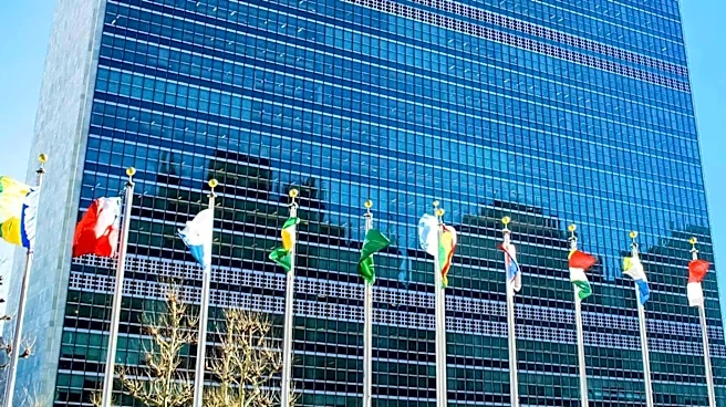
The United Nations General Assembly has adopted a resolution advocating for the use of map projections that more accurately represent the size and proportions of the world's continents, specifically addressing the distortion of Africa's true size. The resolution,
titled 'Correct the Map: Rebalancing Global Cartographic Representation and Promoting Equitable Representation of the World’s Regions, Particularly Africa,' was sponsored by Togo on behalf of the African Group. It passed with an overwhelming 164 votes in favor, one against, and six abstentions. The United States was the sole country to vote against the resolution. Yaryna Ferencevych, deputy U.S. representative to the UN Economic and Social Council, characterized the initiative as an 'ideological project' rather than a significant priority for the United Nations. The resolution aims to encourage member states and international organizations to adopt more accurate cartographic representations and promote a critical approach to how maps are taught in educational curricula.
Why It's Important?
This vote highlights a divergence in international perspectives regarding cartographic representation and its broader implications. The resolution's proponents argue that traditional maps, particularly those using the Mercator projection, significantly distort the size of landmasses, making regions further from the equator appear disproportionately large. For instance, Africa, which is approximately 14 times larger than Greenland, often appears comparable in size on Mercator maps. African states view correcting these 'disproportionate cartographic representations' as crucial for ensuring Africa is 'appropriately recognized on the international sphere' and for 'restoring the dignity of the continent and its diasporas' by rectifying 'historic distortions.' The U.S. stance, dismissing the initiative as ideological, suggests a differing view on the practical and symbolic importance of such cartographic accuracy in global perception and education.
What's Next?
Following the adoption of the resolution, member states and international organizations are encouraged to implement its recommendations by adopting more accurate map projections in education, public communication, and other areas. The resolution also calls for cooperation among UN entities, regional organizations, academia, think tanks, and technology companies to build national capacities and support research and innovation in map-making, geography, and geospatial technology, particularly in developing and African countries. Educational institutions are expected to foster a more critical approach to map teaching, including explanations of projection methods, their characteristics, limits, and appropriate uses. The long-term impact will depend on the extent to which these recommendations are integrated into global practices and educational systems.
Beyond the Headlines
The debate surrounding map projections extends beyond mere technical accuracy; it touches upon ethical, cultural, and historical dimensions of global representation. The Mercator projection, while useful for maritime navigation, has been criticized for perpetuating a Eurocentric view of the world by visually diminishing the size and importance of continents closer to the equator, such as Africa and South America. This resolution implicitly challenges these historical biases, advocating for a cartographic representation that better reflects the true geographical proportions and, by extension, the perceived global standing of different regions. The U.S. vote against it, despite widespread international support, could be interpreted as a reluctance to engage with these deeper implications or a prioritization of other perceived 'meaningful priorities' for the UN, potentially signaling a broader philosophical divide on issues of historical representation and global equity.