




What's Happening?
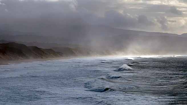
Seattle is currently experiencing breezy and wet weather, with a cold front anticipated to arrive late tonight. This front is expected to bring gusty winds, particularly along the coast and through the Strait. A Wind Advisory has been issued for the coast and islands,
effective from 4 p.m. Saturday until 4 a.m. Sunday, with potential wind gusts reaching up to 55 mph. While the Puget Sound interior is not under the advisory, residents there may still experience strong winds capable of downing small tree limbs and causing minor power outages. Along with the gusty winds, the cold front will bring another round of rain, with isolated weak storms, pockets of heavy rain, small hail, and thunder possible into Sunday due to atmospheric instability. Following this period of blustery conditions, the region is expected to transition to drier and calmer weather for the majority of the upcoming week, with only a slight chance of showers on Wednesday.
Why It's Important?
The incoming weather system carries several implications for residents and local infrastructure in the Seattle area. The Wind Advisory highlights a risk of power outages, particularly in coastal and island communities, which can disrupt daily life and essential services. The potential for heavy rain, hail, and thunder could lead to localized flooding or hazardous driving conditions, impacting transportation and public safety. For local utilities like Seattle City Light, these conditions necessitate preparedness for potential service interruptions and rapid response to restore power. The shift to drier and calmer weather next week, however, will offer a respite from the current blustery conditions, potentially aiding in any recovery efforts and allowing for more stable outdoor activities. Businesses reliant on outdoor operations or sensitive to weather disruptions may experience temporary impacts, while the general public will need to remain vigilant regarding weather alerts and safety precautions.
What's Next?
Following the passage of the cold front and the associated breezy and wet conditions through Sunday, Seattle is forecast to experience a significant improvement in weather. Drier and calmer conditions are expected to prevail for much of the upcoming week. There is a slight chance of showers predicted for Wednesday, but generally, the end of the week is anticipated to be drier and cooler. Residents should monitor local weather updates for any changes to the forecast, especially concerning the Wind Advisory and potential for isolated storms. Utility companies will likely remain on alert for any power outages that may occur during the peak wind periods. The return to more stable weather will allow for a return to normal routines and potentially reduce the immediate risks associated with the current weather system.
Beyond the Headlines
The recurring nature of such weather events in the Pacific Northwest underscores the importance of robust infrastructure and community preparedness. While this particular system is not extreme, it serves as a reminder of the region's susceptibility to wind and rain, which can strain power grids and transportation networks. Long-term implications include the ongoing need for investment in weather-resilient infrastructure, such as undergrounding power lines in vulnerable areas, and public education on emergency preparedness. The ability of local authorities and utility providers to effectively manage and respond to these events is crucial for maintaining public trust and ensuring community resilience. Furthermore, understanding local microclimates and their specific vulnerabilities to wind and rain helps in tailoring more effective mitigation strategies for future weather challenges.