





What's Happening?
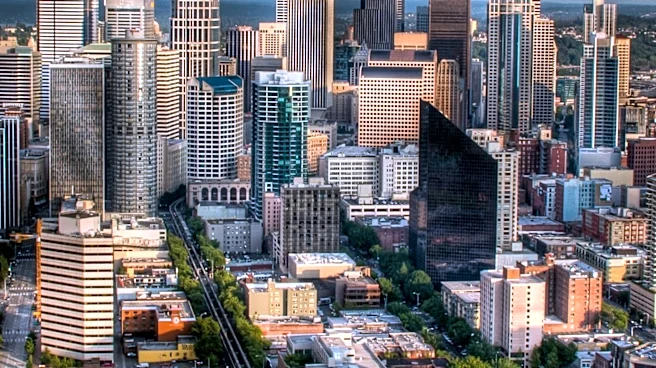
Seattle, Bellingham, and Olympia recorded new record high temperatures on Wednesday, with unusually warm weather persisting into Thursday. Temperatures in Seattle reached the low 60s on Thursday, several degrees above the seasonal average. However, this
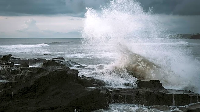
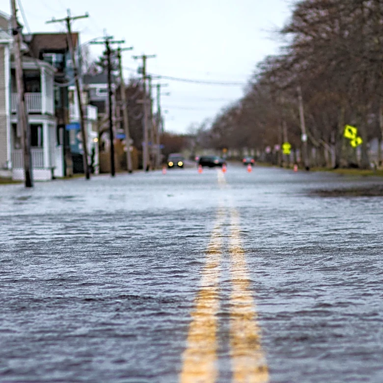
mild weather is set to change as a new frontal system approaches the coast. Winds are expected to increase significantly by Thursday evening, with coastal gusts potentially exceeding 50 mph by Friday morning. Stronger winds are forecast for the entire region through the weekend, particularly from Saturday night into Sunday. Showers and breezy conditions are expected to dominate the weather pattern through the weekend, with highs in the mid to upper 50s. These showery conditions are predicted to continue into Monday, with temperatures gradually cooling by the middle of next week. The National Weather Service and the FOX 13 Seattle Weather Team provided this information.
Why It's Important?
The fluctuating weather patterns in Seattle, moving from record-breaking warmth to strong winds and rain, highlight the dynamic nature of regional climate. For residents, this means preparing for a rapid shift in conditions, from enjoying unseasonably mild temperatures to facing potential disruptions from high winds and increased precipitation. Businesses, particularly those in outdoor sectors or transportation, may need to adjust operations due to the anticipated strong winds. The return of rain after a period of warmth could also impact local ecosystems and water management, though the immediate implications are primarily for daily life and infrastructure. The intensity of the winds, potentially exceeding 50 mph along the coast, could lead to power outages and travel advisories, affecting a broad segment of the population and local services.
What's Next?
Residents in Seattle and surrounding areas should prepare for a significant shift in weather conditions. Strong winds and rain are expected to return from Friday through the weekend, with coastal areas experiencing gusts over 50 mph. This could lead to travel disruptions, potential power outages, and hazardous conditions, especially for those near the coast. Local authorities and weather services will likely issue advisories and warnings as the system approaches and progresses. The showery and breezy weather is expected to continue into Monday, with a gradual cooling trend by the middle of next week. Individuals should monitor local weather updates and take necessary precautions for the anticipated adverse conditions.
Beyond the Headlines
The rapid transition from record warmth to severe weather conditions in the Pacific Northwest underscores broader discussions about climate variability and its localized impacts. While a single weather event cannot be directly attributed to long-term climate trends, the increasing frequency of extreme weather shifts can pose challenges for urban planning, infrastructure resilience, and public preparedness. Such events prompt ongoing conversations about the need for robust emergency response systems and adaptable urban environments. The experience serves as a reminder for communities to continuously assess and enhance their readiness for diverse and rapidly changing meteorological phenomena, influencing long-term strategies for climate adaptation and disaster mitigation.