







What's Happening?
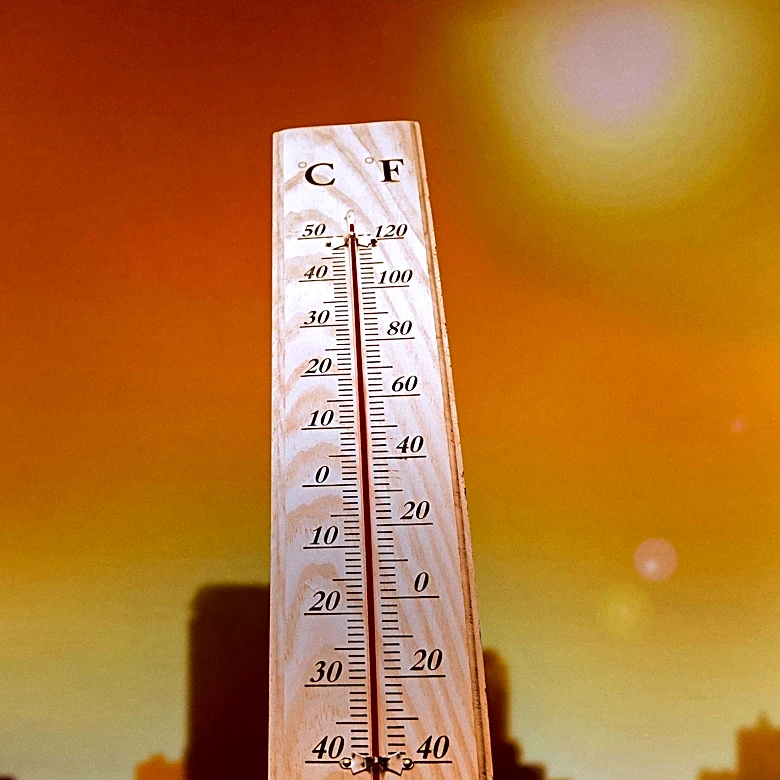
Maryland is experiencing a shift in weather patterns as the weekend concludes, with a forecast indicating drier conditions and a significant rise in temperatures. The First Alert Weather Team has predicted that temperatures will climb into the upper 90s
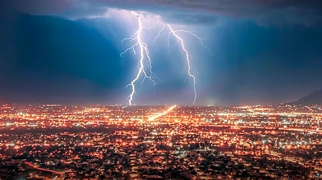
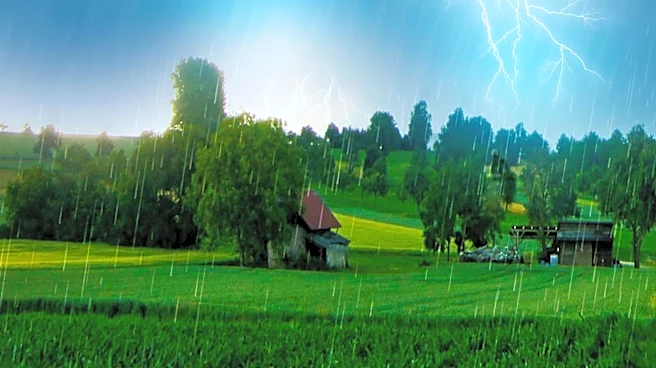
to near 100 degrees by midweek. This increase in heat is expected to be accompanied by relatively low humidity, although heat indices could still exceed 100 degrees during the afternoon hours. The forecast suggests that the hot weather will begin to ease towards the end of the week. However, there is a potential for gusty thunderstorms on Friday and Saturday, which the weather team is closely monitoring.
Why It's Important?
The anticipated rise in temperatures across Maryland could have several implications for residents and local infrastructure. High temperatures can lead to increased energy consumption as people rely more on air conditioning, potentially straining the power grid. Additionally, the risk of heat-related illnesses may rise, particularly among vulnerable populations such as the elderly and those with pre-existing health conditions. The potential for thunderstorms later in the week could also pose challenges, including the risk of power outages and damage to property. These weather conditions highlight the importance of preparedness and the need for residents to stay informed through local weather updates.
What's Next?
As the week progresses, residents of Maryland should prepare for the heat by staying hydrated and avoiding prolonged exposure to the sun during peak hours. The First Alert Weather Team will continue to provide updates on the weather conditions, particularly regarding the potential thunderstorms expected on Friday and Saturday. Local authorities may issue heat advisories or warnings if conditions warrant, and residents are encouraged to follow any guidance provided. Monitoring the situation closely will be crucial for ensuring public safety and minimizing the impact of the weather on daily activities.