


What is the story about?
What's Happening?
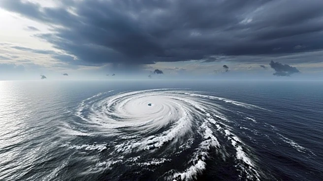
The National Hurricane Center is closely monitoring several weather systems, including Hurricane Kiko, which has formed off Mexico's coast in the Pacific. Kiko is strengthening and is expected to reach maximum sustained winds of 115 mph by September 3. Meanwhile, Tropical Storm Lorena has formed about 240 miles west of Manzanillo, Mexico, and is forecast to become a hurricane by September 3. Lorena is moving northwest and could bring significant flash flooding to southwestern Mexico and Baja California Sur. Additionally, a tropical wave in the Atlantic shows increasing chances of developing into a tropical cyclone.
Why It's Important?
The formation of Hurricane Kiko and Tropical Storm Lorena highlights the active hurricane season in the Pacific, which has already produced several named storms. These weather systems pose potential threats to regions in Mexico, with heavy rainfall and flash flooding expected. The monitoring of multiple systems underscores the importance of preparedness and vigilance in areas prone to hurricanes. The potential development of a tropical cyclone in the Atlantic could further impact weather patterns and necessitate warnings for affected regions.
What's Next?
The National Hurricane Center advises residents in southwestern Mexico and Baja California Sur to monitor the progress of Tropical Storm Lorena, as it could bring heavy rainfall and flooding. The center is also tracking the tropical wave in the Atlantic, which has a 70% chance of developing into a tropical depression or storm within the next seven days. The next named storm in the Atlantic would be Gabrielle. Forecasters will continue to update predictions and issue warnings as necessary.