




What's Happening?
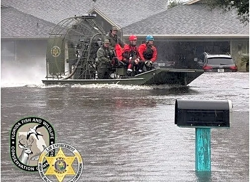
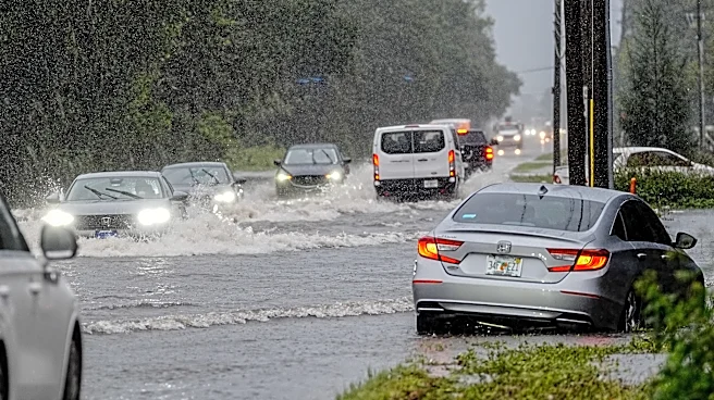
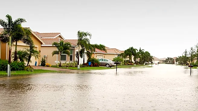
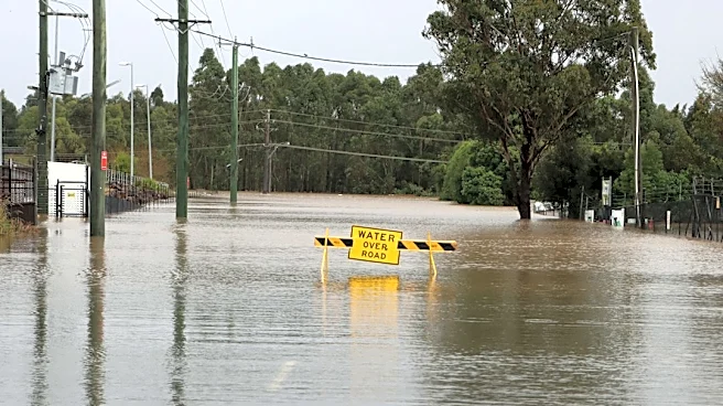
A slow-moving weather system has dumped over two feet of rain in parts of Brevard County, Florida, triggering widespread flooding and flash flood emergencies across Central Florida and the Treasure Coast. Preliminary National Weather Service reports indicate
that areas like Grant-Valkaria, Malabar, and Palm Bay received nearly 25 inches of rain. The heaviest rainfall occurred on Sunday, November 1, and Monday, November 2, with southern Brevard County bearing the brunt of the storm. The National Weather Service in Melbourne reported rainfall estimates of 16 to 22 inches across southern Brevard County by Monday afternoon. This historic rainfall has not only caused immediate street and neighborhood flooding but has also led to prolonged flooding concerns along the St. Johns River. Excessive rainfall in the upper St. Johns River basin is sending a significant volume of water northward, causing river levels to rise. As of Thursday, November 5, flood warnings remain in effect at multiple river forecast locations, including Cocoa, Geneva, Sanford, DeLand, and Astor, with some areas expected to reach moderate or major flood stages.
Why It's Important?
The historic rainfall and subsequent widespread flooding in Brevard County and Central Florida have significant implications for residents, infrastructure, and the regional economy. The issuance of flash flood emergencies highlights the immediate danger to life and property, with forecasters urging residents to avoid flooded roadways due to the deadly risks. The prolonged flooding along the St. Johns River indicates a long-term impact, affecting communities situated along its banks and potentially disrupting transportation and commerce for an extended period. The sheer volume of rainfall, exceeding two feet in some areas, demonstrates the vulnerability of urban and suburban infrastructure to extreme weather events, potentially overwhelming drainage systems and leading to extensive property damage. This event underscores the need for robust flood mitigation strategies and resilient infrastructure to cope with increasingly intense rainfall patterns, which could become more common due to climate change. The economic costs associated with property damage, business disruption, and recovery efforts will be substantial for the affected communities.
What's Next?
Although drier weather is anticipated in the immediate future, with relatively low chances of additional significant precipitation, the flooding risks are far from over. Water levels along the St. Johns River are expected to remain elevated and continue rising in some locations over the coming days, with forecasts indicating moderate to major flood stages. Residents in flood-affected communities are advised to continue avoiding flooded roads and never attempt to walk or wade through floodwaters. The National Weather Service and the National Oceanic and Atmospheric Administration's National Water Prediction Service will continue to provide updated river forecasts and weather statements. Local authorities will focus on assessing the full extent of the damage, managing ongoing flood impacts, and planning for long-term recovery and infrastructure improvements to enhance resilience against future extreme rainfall events.
Beyond the Headlines
The unprecedented rainfall in Brevard County serves as a stark indicator of how climate change may be intensifying weather patterns, leading to more frequent and severe flooding events. The prolonged impact on the St. Johns River system, a vital natural resource and economic artery, highlights the interconnectedness of environmental systems and human settlements. This event could catalyze a reevaluation of land use planning and development practices in flood-prone areas, emphasizing sustainable urban design and natural flood management solutions. The challenges faced by residents and local governments in managing such extreme events also underscore the need for increased investment in climate adaptation and resilience measures. Furthermore, the incident may prompt discussions about the adequacy of current flood insurance policies and disaster relief mechanisms to support communities facing increasingly severe and unpredictable weather-related damages.