




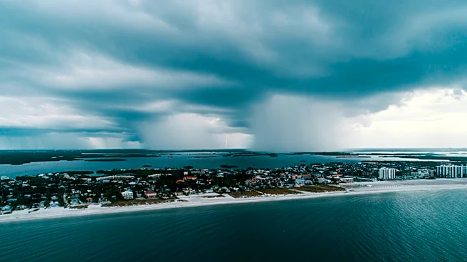



What's Happening?
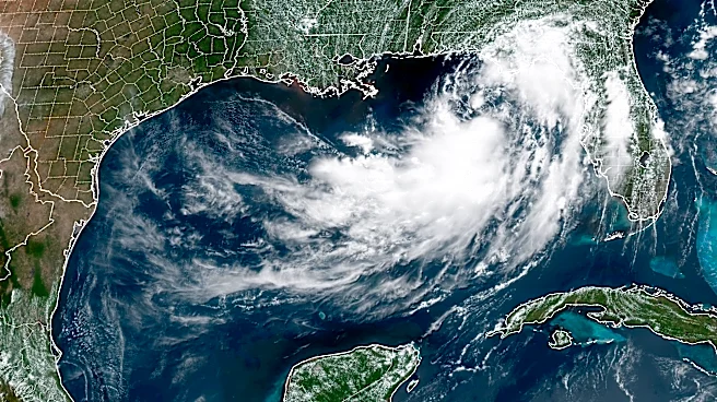
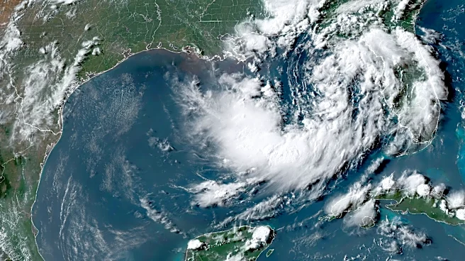
Tropical Storm Bertha has formed in the Gulf of Mexico, according to the National Hurricane Center (NHC). The storm is located about 110 miles south of Panama City, Florida, with maximum sustained winds of 40 mph. A tropical storm watch is in effect for a large
portion of the Gulf Coast, from the Ochlockonee River to the Mississippi/Alabama border. The NHC forecasts that Bertha will move northwest and west, potentially affecting the northern Gulf Coast over the next several days. The storm is expected to produce significant rainfall, with totals of 2 to 4 inches and locally higher amounts up to 8 inches, which could lead to flash flooding in urban areas.
Why It's Important?
The formation of Tropical Storm Bertha is critical as it threatens the Gulf Coast with heavy rainfall and potential flash flooding. The storm's impact could disrupt daily life, affect infrastructure, and pose risks to public safety. The issuance of a tropical storm watch indicates that conditions could deteriorate rapidly, necessitating preparedness measures from residents and local authorities. The storm's progression is being closely monitored, as its path and intensity could influence emergency response strategies and resource deployment in the region. The situation highlights the need for vigilance and timely communication to minimize the storm's impact.
What's Next?
Residents in the affected areas should continue to monitor updates from the National Hurricane Center and local emergency management agencies. The NHC advises that additional strengthening of Bertha is possible, and further watches and warnings may be issued as the storm develops. Residents should be prepared for potential evacuations and disruptions, ensuring they have emergency supplies and plans in place. The situation remains fluid, with forecasters closely tracking the storm's path and intensity to provide timely guidance to those in its potential impact zone.