


What's Happening?
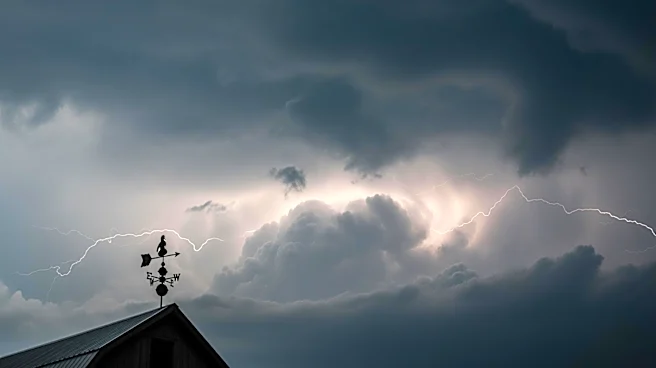
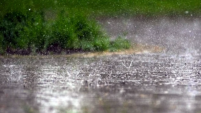
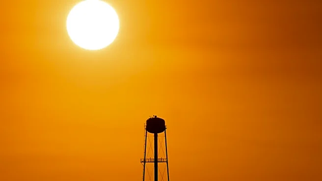
The Capital Weather Gang has provided an updated weather forecast for the Washington D.C. area, predicting a rise in temperatures with highs reaching near 90 degrees starting Sunday. The forecast indicates a slight chance of evening showers or thunderstorms,
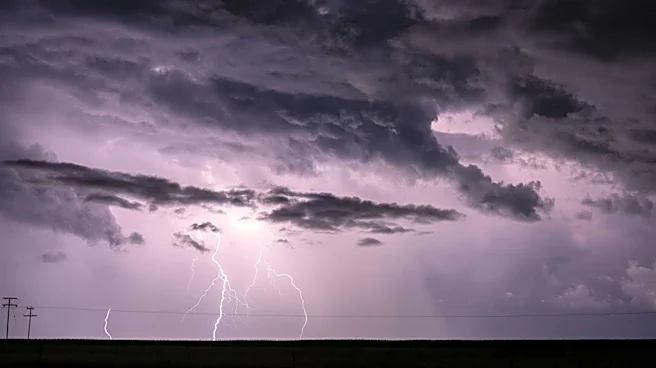
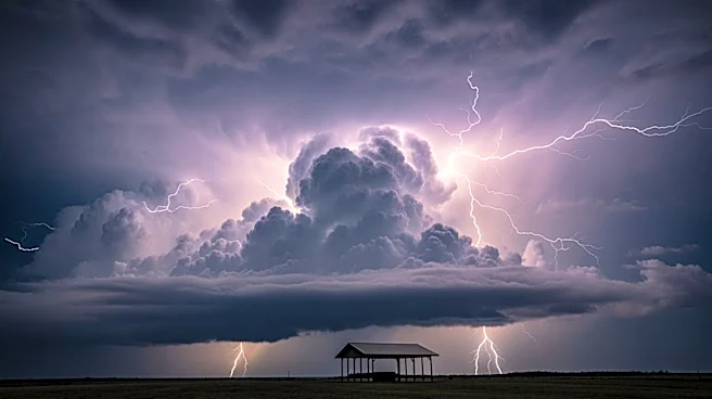
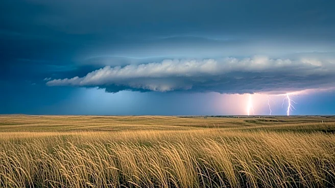
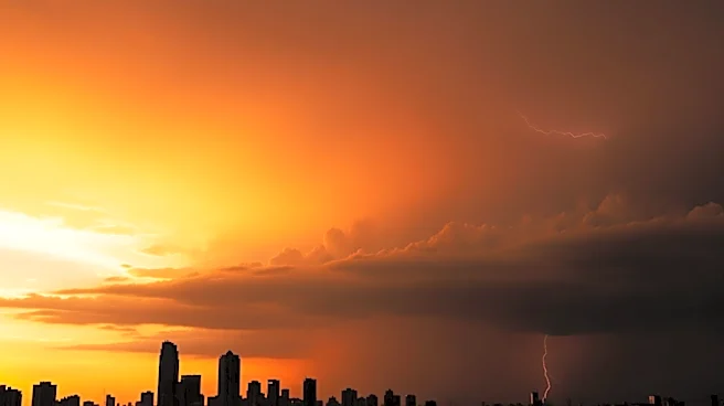
particularly between 5 to 9 p.m. on Saturday. The weather is expected to remain hot through Wednesday, with temperatures potentially climbing into the 90s. A cold front is anticipated to move into the region by Wednesday, bringing a higher likelihood of rain and possibly intense storms. The forecast emphasizes the need for residents to stay informed about potential weather changes, especially if planning outdoor activities.
Why It's Important?
The forecast of rising temperatures and potential storms is significant for residents and businesses in the D.C. area. High temperatures can lead to increased energy consumption as people rely on air conditioning, potentially straining the power grid. The possibility of storms, particularly intense ones, raises concerns about flooding and disruptions to transportation and daily activities. Businesses, especially those in the hospitality and event sectors, may need to adjust plans to accommodate weather conditions. Additionally, the forecast serves as a reminder of the importance of staying prepared for sudden weather changes, which can impact safety and infrastructure.
What's Next?
Residents and businesses in the D.C. area should monitor weather updates closely, especially as the cold front approaches on Wednesday. Preparations for potential storms, such as securing outdoor items and ensuring emergency supplies are available, are advisable. Local authorities may issue advisories or warnings if severe weather conditions develop. The community should remain vigilant and responsive to any changes in the forecast, particularly regarding the potential for intense storms and flooding.