
What's Happening?
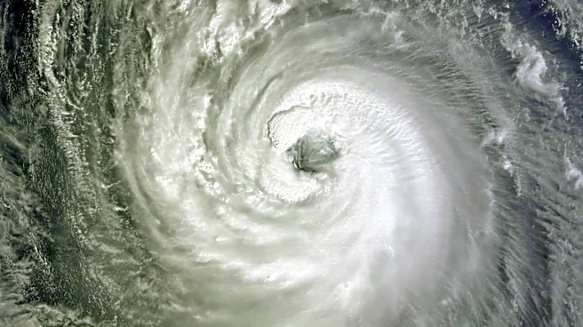
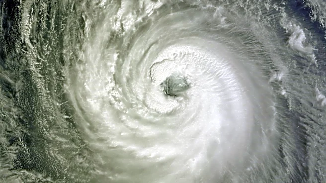
Typhoon Dolphin, a powerful storm, is approaching Japan, posing a significant threat to the Okinawa region. Initially a category 5 cyclone, Dolphin has been downgraded to a category 3 storm with sustained
winds of 125 mph. As it moves westward, it is expected to weaken further but still bring winds of 80-100 mph, capable of causing widespread damage. The storm's wind field is expanding, shifting the primary threat from destructive winds to storm surge. This development follows a summer of extreme weather, with record-breaking heat in Europe and unusual rainfall in Vancouver.
Why It's Important?
The approach of Typhoon Dolphin underscores the increasing frequency and intensity of extreme weather events, likely exacerbated by climate change. The storm's potential impact on Japan highlights the need for robust disaster preparedness and response strategies. The economic and social implications are significant, as typhoons can disrupt infrastructure, displace populations, and strain emergency services. Additionally, the storm's impact on Japan's agriculture and fisheries could have broader economic repercussions, affecting food supply and prices.
What's Next?
As Typhoon Dolphin approaches, Japanese authorities are likely to issue evacuation orders and prepare emergency response measures. The storm's impact will be closely monitored, with potential implications for infrastructure and economic activities in affected regions. The response to Dolphin may also inform future strategies for dealing with similar extreme weather events, emphasizing the importance of climate resilience and adaptation measures.