
What's Happening?
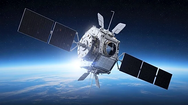
The Sentinel-6B satellite, part of the Sentinel-6/Jason-CS mission, is a collaborative effort between NASA, ESA, and other international agencies to monitor sea levels and improve marine weather forecasts. Scheduled for launch in November, Sentinel-6B will provide data on sea surface height, wave height, and wind speed, crucial for predicting ocean conditions. This satellite will continue the legacy of Sentinel-6 Michael Freilich, launched in 2020, and contribute to a long-term dataset of sea level measurements. The mission aims to enhance the safety of shipping operations by providing accurate forecasts of ocean currents like the Gulf Stream.
Why It's Important?
The Sentinel-6B satellite's data is essential for global trade, as it helps ships navigate safely by predicting hazardous sea conditions. Accurate marine forecasts prevent accidents and cargo loss, ensuring the safety of crews and vessels. The satellite's measurements contribute to climate research, offering insights into sea level changes over time. The collaboration between international space agencies highlights the importance of global efforts in ocean monitoring and maritime safety.
What's Next?
Upon launch, Sentinel-6B will begin transmitting data to meteorologists, improving the accuracy of marine forecasts. The satellite will extend a dataset of sea level measurements, aiding climate research and policy decisions. As ocean traffic increases, the satellite's data will be crucial for ensuring maritime safety. Future missions may build on Sentinel-6B's capabilities, further enhancing ocean monitoring and international collaboration.