


What's Happening?
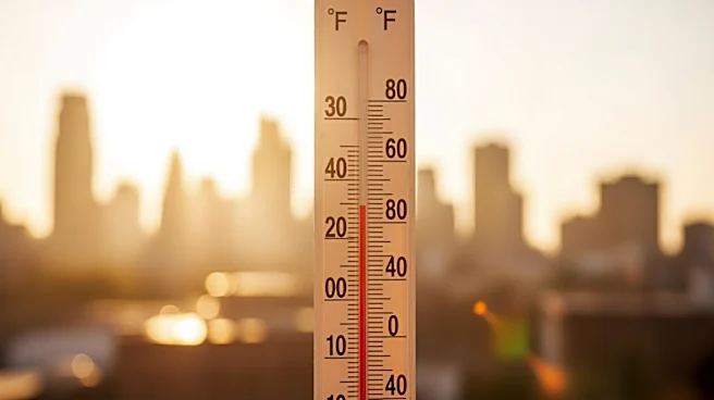
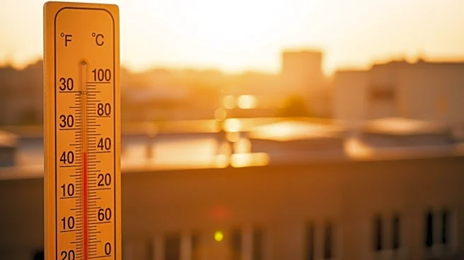
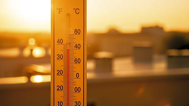
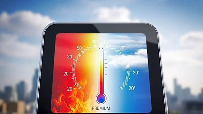
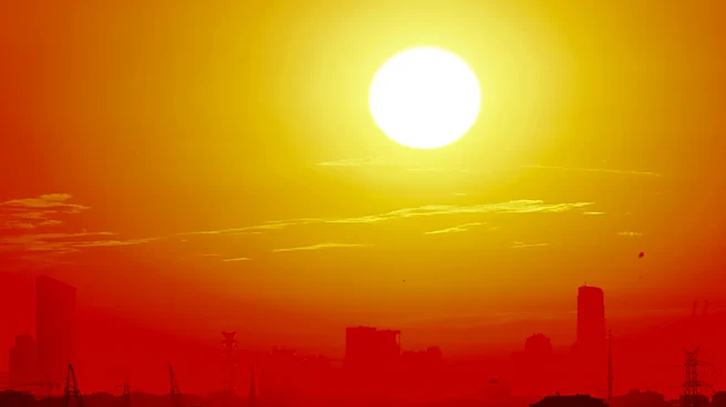
The Philadelphia area is experiencing a shift in weather patterns as temperatures begin to transition back to normal after a week of record-breaking heat. According to NEXT Weather Meteorologist Kate Bilo, the region remains warmer than average on Friday,
but cooler temperatures are expected to return. The recent heat wave has been notable for its intensity, setting new temperature records in the area. As the heat subsides, meteorologists are also tracking potential rain showers over the weekend, which could further aid in cooling down the region.
Why It's Important?
The transition to cooler temperatures is significant for residents and local infrastructure, as prolonged heat waves can strain energy resources, impact public health, and disrupt daily activities. The return to more seasonable weather conditions may alleviate some of these pressures, providing relief to those affected by the extreme heat. Additionally, the potential for rain showers could help mitigate any lingering effects of the heat wave, such as dry conditions and increased fire risk. This shift in weather patterns highlights the importance of monitoring and adapting to changing climate conditions, which can have wide-ranging impacts on urban environments.
What's Next?
As Philadelphia transitions to cooler temperatures, local authorities and residents will likely continue to monitor weather forecasts closely. The anticipated rain showers over the weekend could bring much-needed relief and help stabilize the region's climate. However, the recent heat wave serves as a reminder of the potential for extreme weather events, prompting discussions on preparedness and resilience in the face of climate variability. Stakeholders, including city planners and public health officials, may use this experience to inform future strategies for managing heat-related challenges.