What's Happening?
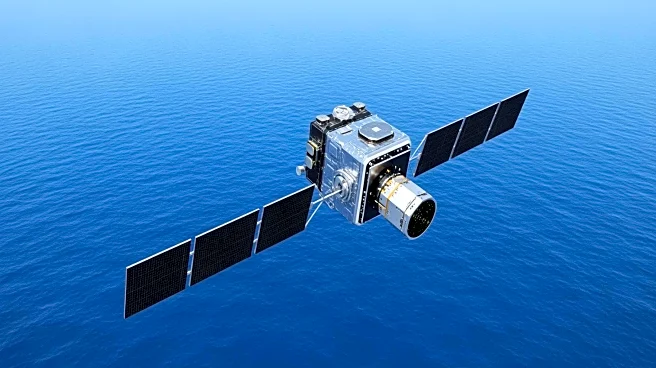
NASA, in collaboration with the French space agency CNES, has developed one of the most detailed maps of Earth's seafloor using data from the Surface Water and Ocean Topography (SWOT) satellite mission.
This initiative aims to address the lack of detailed mapping of the ocean floor, which is less understood than the surface of the Moon. The SWOT satellite, operational since April 2023, uses radar interferometry to measure ocean surface heights, allowing scientists to infer the topography of the seafloor. This method has revealed previously hidden features such as abyssal hills, seamounts, and submarine canyons, which are crucial for understanding geological processes and ocean dynamics.
Why It's Important?
The development of detailed seafloor maps has significant implications for various fields. For geologists, these maps provide insights into plate tectonics and the history of seafloor spreading. For oceanographers, understanding the seafloor's topography is essential for modeling ocean currents and internal tides, which affect climate models. Additionally, these maps are vital for practical applications such as planning submarine cable routes, assessing tsunami and earthquake risks, and supporting navigation in uncharted waters. The enhanced resolution of these maps, down to features as small as 5 miles across, represents a major advancement in oceanographic research and safety.
What's Next?
As the SWOT mission continues, further data collection will refine these maps, reducing noise and revealing even smaller features. This ongoing effort will enhance global bathymetric charts, integrating satellite data with traditional ship-based sonar measurements. The improved maps will aid in more accurate climate modeling, hazard assessment, and resource management. Researchers will continue to explore the implications of these findings for understanding Earth's geological history and current oceanographic processes.


