



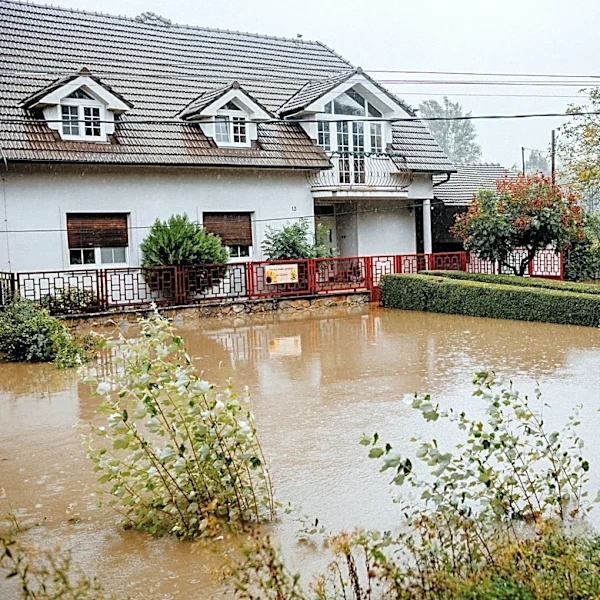






What's Happening?
A significant flood threat is looming over Texas and parts of the South, with heavy rains expected to impact millions of residents through the week. The National Oceanic and Atmospheric Administration's Weather Prediction Center has issued a Level 2 out of 4
risk of flash flooding, affecting areas from Western North Carolina to Texas' Big Bend. This weather pattern is driven by a cold front colliding with warm, humid air from the Gulf, resulting in persistent thunderstorms. The regions most at risk include Texas' Hill Country and Big Bend, which have previously experienced devastating floods. The situation follows recent flash flooding in Missouri, where some areas received up to 12 inches of rain, prompting emergency declarations.
Why It's Important?
The impending floods pose a significant threat to life and property across a vast region, including major urban centers like Houston, Austin, and San Antonio. The potential for repeated heavy rainfall over the same areas increases the risk of severe flooding, which could lead to widespread displacement and damage. This situation underscores the vulnerability of these regions to extreme weather events, exacerbated by climate patterns. The economic impact could be substantial, affecting local businesses, infrastructure, and agriculture. Emergency services and local governments are on high alert, preparing for potential evacuations and rescue operations.
What's Next?
As the week progresses, the flood threat is expected to intensify, particularly in West and Southwest Texas. Residents in affected areas are advised to stay informed through local advisories and prepare for possible evacuations. The Weather Prediction Center anticipates issuing flood watches as conditions develop. The situation requires close monitoring, especially for those planning to visit or reside near vulnerable areas like Big Bend National Park. The response from emergency services will be crucial in mitigating the impact of the floods.