


What's Happening?
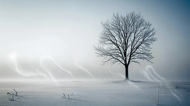
The National Weather Service has issued extreme cold warnings across large portions of western and central New York, with wind chills expected to drop as low as 30 below zero. The coldest conditions are anticipated from Saturday through Sunday morning.
In southern Erie, Wyoming, Livingston, Ontario, Chautauqua, Cattaraugus, and Allegany counties, wind chills could fall between 25 and 30 below zero. The eastern Lake Ontario region, including Oswego, Jefferson, and Lewis counties, is expected to experience the coldest temperatures, with wind chills between 25 and 35 below zero. Additionally, winter weather advisories are in effect due to lake-effect snow and gusty winds, with snowfall of 1 to 3 inches expected in parts of western New York. The advisory for Erie, Niagara, Orleans, Genesee, Wyoming, Chautauqua, and Cattaraugus counties remains in effect until 7 p.m. Saturday.
Why It's Important?
The extreme cold and snowfall pose significant risks to public safety and transportation in the affected regions. Frostbite can occur on exposed skin in as little as 15 minutes under these conditions, making outdoor activities dangerous. The weather conditions are likely to disrupt travel, with reduced visibility and slippery roads due to blowing and drifting snow. Residents are advised to limit outdoor exposure, dress in layers, and check on vulnerable neighbors. The cold snap and snow could also impact local businesses and services, as transportation and logistics may face delays or disruptions.
What's Next?
Residents in the affected areas should prepare for continued cold and snow through the weekend. Weather officials recommend staying informed about changing conditions and advisories. Those who must travel should allow extra time and be prepared for rapidly changing road conditions. The National Weather Service will continue to monitor the situation and provide updates as necessary. Community support and preparedness will be crucial in mitigating the impact of the severe weather.