
What's Happening?
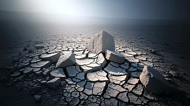
The U.S. Geological Survey (USGS) has reported nearly two dozen earthquakes off the coast of Russia's Kamchatka Peninsula within a 24-hour period. The earthquakes ranged in magnitude from 4.3 to 6.1, with the strongest
being capable of causing damage in populated areas. Despite the intensity, no injuries, deaths, or destruction have been reported, and no tsunami warnings have been issued. The Kamchatka Peninsula is known for its seismic activity due to its location at the tectonic boundary where the Pacific Plate subducts beneath the Okhotsk Sea Plate. This recent activity follows a significant 8.8 magnitude earthquake in July, which prompted tsunami warnings across the Pacific, including the U.S. West Coast.
Why It's Important?
The Kamchatka Peninsula's seismic activity poses ongoing risks to local populations and international coastal regions connected by the Pacific Rim. The recent earthquakes highlight the need for continued scientific oversight and hazard preparedness, especially for Pacific nations and U.S. interests in areas like Hawaii and Alaska. The July earthquake, one of the strongest ever recorded, triggered volcanic eruptions and shifted the peninsula's southern region. The USGS anticipates further aftershocks, emphasizing the importance of rapid response systems for accurate tsunami warnings and impact assessments.
What's Next?
Seismic monitoring in Kamchatka will continue as scientists expect more aftershocks. The USGS and Russian scientific agencies will provide ongoing updates. Governments and emergency services remain on alert for additional seismic or volcanic hazards. The evolving nature of aftershocks and renewed volcanic activity highlight continued risks for local populations and international coastal regions linked by the Pacific Rim.