
What's Happening?
Scientists at the University of California, Riverside, led by geophysicists Gareth Funning and Axel Periollat, have developed a novel method to identify where Earth's largest earthquakes are most likely
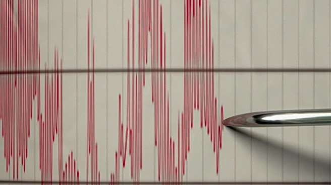
to occur. This new approach focuses on subduction zones, areas where one tectonic plate slides beneath another, which are responsible for the planet's most powerful seismic events, including those exceeding magnitude 8.5 and often generating devastating tsunamis. The method utilizes GPS measurements of subtle ground deformation to pinpoint sections of faults that are 'locked' and accumulating stress. These locked regions, known as asperities, act as friction points that resist movement until sufficient stress builds up to trigger a major earthquake. In a recent test, the researchers successfully identified the exact segment of the Kamchatka subduction zone in eastern Russia where a massive earthquake subsequently struck. While the method does not predict the timing of earthquakes, it provides crucial information about where strain is accumulating, offering a significant tool for disaster preparedness.
Why It's Important?
This new predictive method holds substantial importance for improving disaster preparedness in seismically active regions across the U.S. and globally. By identifying specific fault sections where stress is building, authorities and communities can better allocate resources for long-term planning, infrastructure reinforcement, and public education campaigns. For instance, in the Pacific Northwest, which lies along a major subduction zone, this tool could help pinpoint areas at higher risk of a megathrust earthquake, enabling more targeted mitigation efforts. The ability to narrow down high-hazard zones can lead to more effective building codes, emergency response strategies, and evacuation plans, potentially saving lives and reducing economic damage. The research also highlights the need for improved offshore monitoring, particularly in regions like the Pacific, where data scarcity hinders accurate tsunami hazard assessments, underscoring a critical gap in global earthquake preparedness infrastructure.
What's Next?
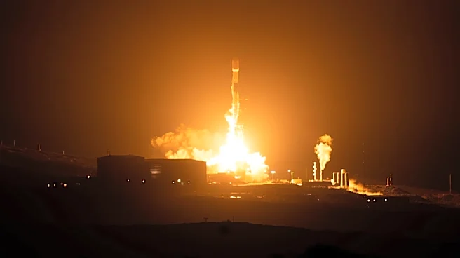
The UC Riverside team is currently applying their new method to other significant subduction zones worldwide, including those in Japan, Mexico, New Zealand, and the U.S. Pacific Northwest. They are also exploring the applicability of similar techniques to understand faults in California, such as the Hayward Fault in the Bay Area, which exhibits both creeping and locked sections. Broader implementation of this method will necessitate enhanced observational data, particularly from offshore regions where many dangerous faults are located. Researchers in Japan are already deploying acoustic instruments on the seafloor to measure slow deformation, and similar initiatives are being proposed for areas like Chile and the Pacific Northwest. The recent launch of a new satellite may also contribute additional measurements in areas currently lacking GPS coverage. The scientists emphasize that improved forecasting of earthquake locations should complement, rather than replace, public preparedness efforts, stressing that preparation remains paramount, especially in high-risk areas like Southern California.
Beyond the Headlines
The development of this method underscores a broader shift in seismic hazard assessment, moving from generalized regional risks to more precise, fault-segment-specific predictions. This precision has profound implications for urban planning, insurance risk assessment, and the development of early warning systems. Ethically, it raises questions about how such specific risk information should be communicated to the public to avoid panic while ensuring adequate preparedness. Legally, it could influence land-use policies and building regulations in identified high-risk zones. Culturally, it may foster a more proactive approach to earthquake resilience in communities previously operating under broader, less specific threat assessments. The ongoing need for more comprehensive offshore data also highlights a critical technological and financial investment gap in global geophysics, suggesting that international collaboration and advanced sensor deployment will be crucial for fully realizing the potential of such predictive tools.