




What's Happening?
The Billings area is experiencing warm and dry weather, with temperatures expected to reach into the 70s through Thursday night. Some areas, like Miles City and Baker, are even approaching record high temperatures. This pattern is due to southwesterly
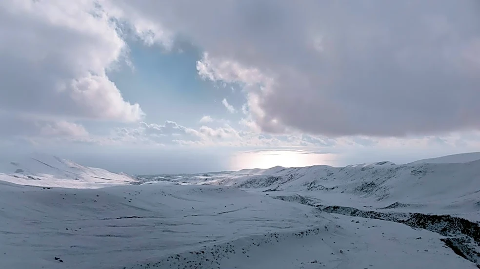
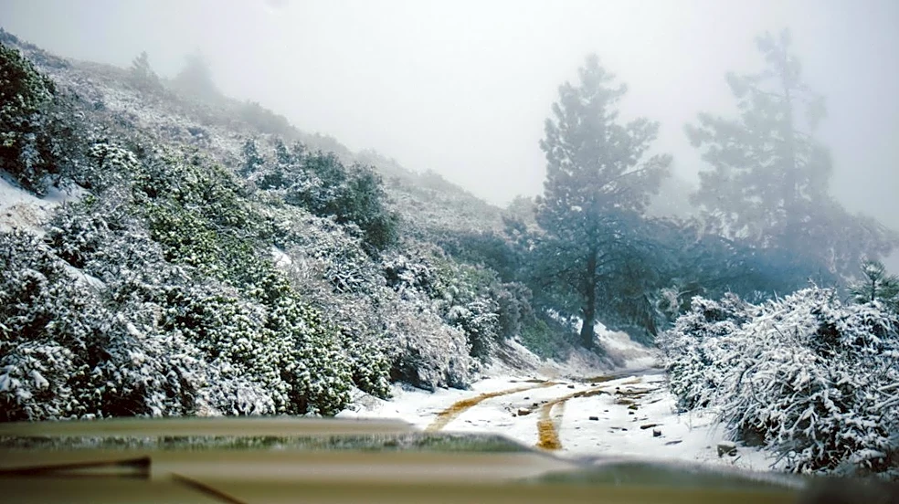
flow and stronger downslope winds. However, a shift is anticipated as a California upper-level trough merges with a Canadian shortwave system from Friday into early Saturday. Recent model runs indicate this combined system may be weaker than initially projected, leading to a downward revision in expected rainfall totals for lower elevations. Southeastern Montana, in particular, may see reduced precipitation chances due to a shift in the system's track. Instead, this region faces elevated fire weather concerns on Friday afternoon and evening, with wind gusts of 30 to 45 mph and relative humidity dropping to 15-25%. Record daytime highs are still possible on Friday for Miles City and Baker before temperatures cool down to the 40s and 50s across the region over the weekend and into early next week. Mountain snowfall forecasts have also decreased, with up to 6 inches possible above 6,000 feet in certain ranges.
Why It's Important?
The fluctuating weather patterns in the Billings area carry significant implications for residents and various sectors. The current warm and dry conditions, coupled with strong winds and low humidity, elevate the risk of wildfires, particularly in Powder River, Carter, and Fallon counties. This poses a direct threat to public safety, property, and natural resources, requiring increased vigilance from fire management agencies and residents. The potential for record high temperatures also impacts energy consumption, agricultural practices, and outdoor activities. The subsequent shift to cooler and wetter weather, while potentially mitigating fire risks, introduces new concerns. Reduced rainfall totals could affect agricultural yields and water resources, especially if the trend continues. Furthermore, even light snowfall combined with breezy winds, as predicted for Bozeman Pass, can create hazardous travel conditions, impacting transportation and commerce. The uncertainty in the long-range outlook makes planning difficult for industries reliant on predictable weather, such as agriculture and construction, and could influence local emergency preparedness strategies.
What's Next?
Residents in Powder River, Carter, and Fallon counties should remain alert for elevated fire weather concerns throughout Friday afternoon and evening, as strong winds and low humidity will persist. Travelers, particularly those planning to use Bozeman Pass on Friday night, should be prepared for potentially hazardous conditions due to light snowfall and breezy winds. The region will experience a significant cool-down over the weekend, with temperatures dropping into the 40s and 50s, marking a clear transition from the current warm spell. Looking further ahead into next week, temperatures are expected to trend near to slightly below average. While some models suggest an active upper-level pattern with daily chances of precipitation, there is still uncertainty regarding the consistency and intensity of these future weather events. Local weather advisories and forecasts should be closely monitored for updates on precipitation chances, fire weather warnings, and travel conditions as the systems evolve.
Beyond the Headlines
The dynamic weather patterns in the Billings area underscore broader climate trends and their localized impacts. The increased frequency of extreme weather events, such as prolonged dry spells followed by rapid shifts to cooler, wetter conditions, can strain local infrastructure and emergency services. The elevated fire risk highlights the ongoing challenge of managing wildland-urban interface areas and the need for community-wide preparedness and mitigation strategies. The downward revision of precipitation forecasts, even for a single event, can accumulate over time, potentially impacting long-term water availability and agricultural sustainability in a region heavily reliant on natural resources. Such variability also influences local ecosystems, affecting wildlife habitats and vegetation health. The uncertainty in long-range forecasts points to the growing complexity of weather prediction in a changing climate, necessitating continuous advancements in meteorological modeling and communication to help communities adapt and build resilience against increasingly unpredictable environmental conditions.