

What's Happening?
The Washington D.C. region experienced severe weather with showers and thunderstorms affecting the morning commute. The National Weather Service had issued a flood watch, which has since expired. The area saw a mix of clouds and sun, with temperatures
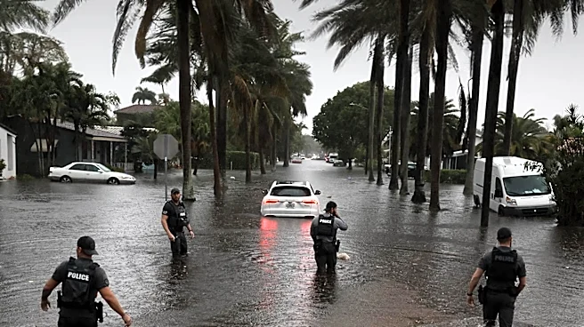
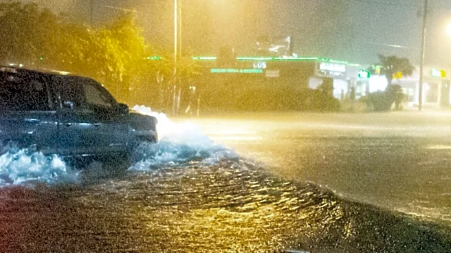
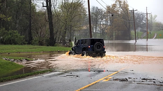
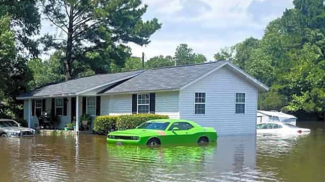
in the upper 80s. Meteorologist Mark Peña warned of a surge in tropical moisture, leading to heat index values nearing 100 degrees. The weather pattern is expected to continue, with chances of isolated showers and storms each afternoon. The rainfall could cause localized flooding, and thunderstorms may bring gusty winds and heavy downpours.
Why It's Important?
The severe weather conditions in the D.C. area highlight the challenges of managing urban infrastructure during extreme weather events. The potential for flooding and storm damage poses risks to transportation, property, and public safety. The situation underscores the need for effective emergency response plans and public awareness about weather-related hazards. The ongoing heat and humidity also raise concerns about health risks, particularly for vulnerable populations. The weather pattern's persistence could lead to cumulative impacts on the region's infrastructure and daily life.
What's Next?
The weather system is expected to remain stalled, with continued chances of rain and severe storms into the weekend. Residents are advised to stay informed about weather updates and take precautions against heat and flooding. Authorities will monitor the situation and respond to any emergencies that arise. The potential for severe storms may lead to further advisories and warnings. The region will need to prepare for possible disruptions to transportation and services due to the weather conditions.