






What's Happening?
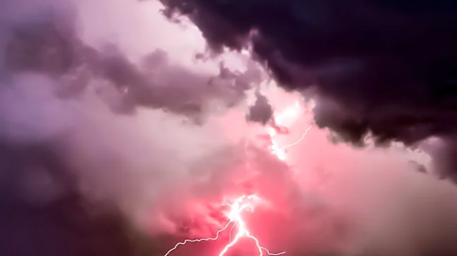
Parts of western and central New York, including Buffalo, Rochester, Syracuse, and Watertown, are under a risk for severe thunderstorms on Thursday afternoon and evening. According to the National Weather Service in Buffalo, a weak cold front is expected
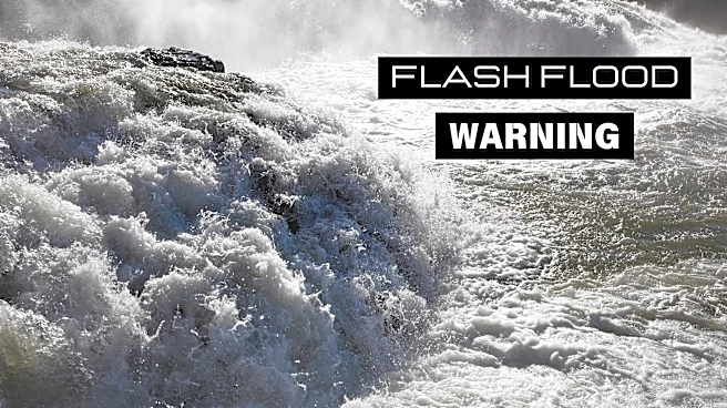
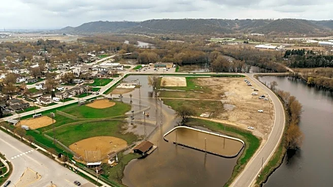
to move in from the northwest, bringing showers and scattered thunderstorms. Some of these storms could become strong to severe, particularly along lake breeze boundaries inland from lakes Erie and Ontario. The greatest chance for thunderstorms is between 2 and 8 p.m. Potential hazards include wind gusts up to 60 mph, capable of downing trees and damaging power lines, and heavy rainfall that could lead to localized flooding, especially in poor-drainage and low-lying areas. Residents are advised to prepare for rapidly changing conditions.
Why It's Important?
The severe weather poses significant risks to infrastructure and public safety in the affected areas. High wind gusts can lead to power outages and property damage, while heavy rainfall increases the risk of flash flooding, particularly in urban areas with poor drainage systems. This could disrupt daily activities, affect transportation, and necessitate emergency responses. The potential for severe weather highlights the importance of preparedness and timely communication from weather services to mitigate risks and ensure public safety.
What's Next?
Residents in the affected areas should stay informed through local weather updates and be prepared to take action if severe weather warnings are issued. Emergency services and local authorities may need to respond to incidents of flooding or wind damage. The situation underscores the need for ongoing monitoring of weather patterns and effective communication strategies to ensure public safety during severe weather events.