


What's Happening?
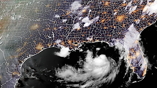
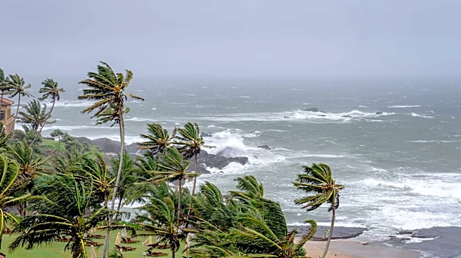
Tropical Storm Bertha has intensified as it nears the Gulf Coast, according to the National Hurricane Center (NHC). As of the latest advisory, the storm is located approximately 110 miles south-southwest of Panama City and 170 miles southeast of Mobile,
Alabama, moving northwest at 5 mph with sustained winds of 50 mph. The NHC has issued a tropical storm warning for areas from the Alabama/Florida border to the Jefferson/Plaquemines Parish border in Louisiana. A tropical storm watch is also in effect for parts of Florida and Louisiana, including metropolitan New Orleans. The storm is expected to bring 2 to 4 inches of rain, with some areas potentially receiving up to 6 inches, posing a risk of flash flooding. Storm surges of 1 to 4 feet are anticipated along various parts of the Gulf Coast.
Why It's Important?
The approach of Tropical Storm Bertha is significant due to its potential impact on the Gulf Coast, a region frequently affected by severe weather. The storm's heavy rainfall and storm surges could lead to flooding, particularly in low-lying areas, affecting communities and infrastructure. The issuance of warnings and watches indicates the seriousness of the threat, prompting preparations and possible evacuations. The storm's impact on transportation, local economies, and emergency services could be substantial, especially if it intensifies further. The Gulf Coast's vulnerability to such storms underscores the importance of preparedness and effective response strategies.
What's Next?
As Tropical Storm Bertha continues its northwestward trajectory, it is expected to move near or along the northern Gulf Coast over the next few days. The NHC forecasts that the storm may intensify slightly before encountering conditions that could weaken it. Residents in the affected areas are advised to monitor updates and heed warnings from local authorities. Emergency services and local governments are likely to remain on high alert, ready to implement evacuation plans if necessary. The situation will require close monitoring as the storm progresses and its impacts become clearer.