
What's Happening?
The National Weather Service (NWS) Honolulu office has issued a Coastal Waters Forecast for the Hawaiian Islands, covering waters within 40 nautical miles, including the Hawaiian Islands Humpback Whale National Marine Sanctuary. The forecast, issued on Friday,
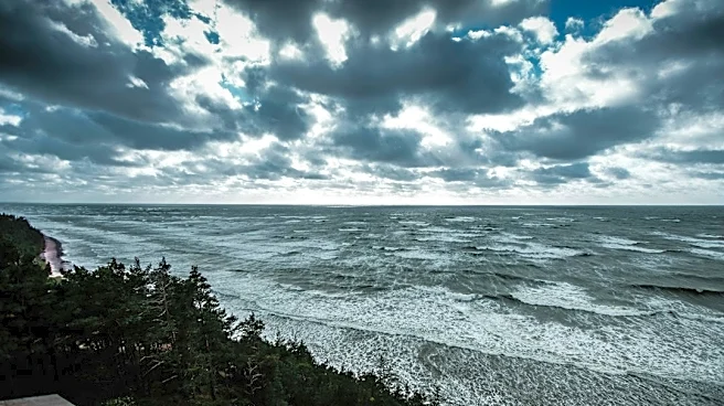
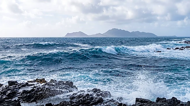
November 13, 2026, at 3:23 PM HST, details expected wind conditions, sea states, and wave specifics for various zones around the islands through Wednesday, November 18, 2026. Key predictions include trade winds weakening slightly through Saturday, then reintensifying as high pressure strengthens northeast of the islands on Sunday and Monday. Several areas, including Maalaea Bay, Pailolo Channel, Alenuihaha Channel, Big Island Leeward Waters, and Big Island Southeast Waters, are under a Small Craft Advisory through Saturday afternoon. Wind speeds are generally forecast to be between 15 to 25 knots, with some areas experiencing gusts up to 30 knots. Seas are expected to range from 4 to 11 feet, with varying wave details across different zones.
Why It's Important?
This coastal waters forecast is crucial for maritime safety and operations across the Hawaiian Islands. The Small Craft Advisories in multiple channels and leeward waters indicate conditions that could be hazardous for smaller vessels, impacting recreational boating, fishing, and potentially inter-island transport. The predicted reintensification of trade winds and associated sea states can affect commercial shipping routes, port operations, and the safety of coastal communities. Accurate and timely weather information from the NWS helps mariners, coastal residents, and emergency services prepare for and mitigate risks associated with changing ocean conditions, ensuring public safety and supporting the region's marine-dependent economy. The forecast also provides essential data for industries such as tourism, which relies heavily on safe ocean activities.
What's Next?
The NWS Honolulu will continue to monitor weather patterns and issue updated coastal waters forecasts as conditions evolve. Mariners and coastal residents are advised to regularly check the latest forecasts and advisories, especially those operating in areas under Small Craft Advisories. The reintensification of trade winds on Sunday and Monday suggests that rougher sea conditions may persist or worsen in some areas, requiring continued vigilance. Depending on the actual wind and wave developments, further advisories or warnings could be issued. Local authorities and emergency services will likely remain on standby to respond to any maritime incidents or coastal hazards that may arise from the forecast conditions.
Beyond the Headlines
The consistent monitoring and forecasting of coastal waters in Hawaii highlight the region's vulnerability to dynamic ocean conditions and the critical role of meteorological services in supporting island life. The detailed wave and wind information provided by the NWS is not only vital for immediate safety but also contributes to long-term climate studies and understanding regional oceanographic trends. The mention of the Hawaiian Islands Humpback Whale National Marine Sanctuary within the forecast area underscores the intersection of human activities and environmental protection, as safe maritime practices are essential to protect marine wildlife. This ongoing effort reflects a broader commitment to environmental stewardship and public safety in a geographically isolated and ocean-dependent state.