What's Happening?
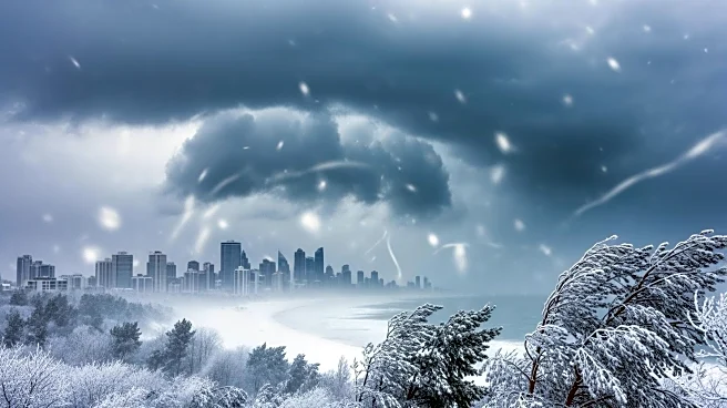
A significant nor'easter is expected to impact the East Coast, with blizzard warnings issued for Boston, New York City, New Jersey, and Connecticut. The National Weather Service has upgraded the storm's severity, predicting 1 to 2 feet of snow in many
areas. The storm is set to begin on Sunday, with the heaviest snowfall expected Sunday night into Monday. Strong winds of 25 to 35 mph are anticipated, which could lead to dangerous travel conditions, downed tree limbs, and power outages. The storm will start as rain in some regions before turning to snow, with snowfall rates potentially reaching 2 inches per hour. Coastal flooding is also a concern, particularly in low-lying areas.
Why It's Important?
The impending storm poses significant challenges for the densely populated East Coast, potentially disrupting travel and daily activities. The heavy snowfall and strong winds could lead to widespread power outages and hazardous road conditions, affecting millions of residents. The economic impact could be substantial, with businesses and schools likely to close, and transportation systems facing delays or cancellations. Emergency services and local governments are preparing for the storm's impact, urging residents to stay indoors and avoid travel. The storm's timing, coinciding with the start of the workweek, could exacerbate its disruptive effects.
What's Next?
As the storm approaches, local authorities are advising residents to prepare by stocking up on essentials and staying informed through weather updates. Emergency management teams are on alert, ready to respond to power outages and flooding. The storm's aftermath will require significant cleanup efforts, with potential delays in restoring power and clearing roads. Residents in affected areas should monitor local advisories and heed warnings to ensure safety. The storm's progression will be closely watched, with adjustments to forecasts and warnings likely as it develops.
