





What's Happening?
The St. Johns River west of Cocoa, Florida, is experiencing significant flooding, with forecasts from the National Weather Service (NWS) indicating it could crest at 17.1 feet around Tuesday or Wednesday, November 10-11. This level surpasses the 17-foot
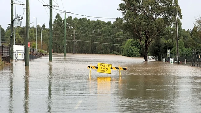
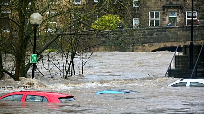
threshold for major flooding. The current situation has already led to docks being submerged, parking areas disappearing, and water encroaching on businesses like Lone Cabbage Fish Camp. Visitors to the area, some of whom have frequented the river for years, report never seeing water levels this high, even after past storms. Unlike previous major flood events, such as Tropical Storm Fay in 2008, this flooding is not attributed to a named tropical system. Instead, it is a consequence of extreme rainfall that occurred earlier in southern Brevard County, with runoff draining into the St. Johns River, which flows northward. Communities like Malabar and Palm Bay recorded extraordinary rainfall amounts, contributing to the rising river levels days after the initial downpour.
Why It's Important?
The projected major flooding of the St. Johns River carries significant implications for residents and businesses in low-lying areas near Cocoa. A crest of 17.1 feet is just shy of the 17.2-foot mark, at which point water can begin entering homes in vulnerable communities such as Lake Poinsett, the Silver Pines subdivision in Rockledge, and Shakespeare Park in Cocoa. Beyond property damage, the NWS warns that Providence Road west of Cocoa could become impassable at 17.2 feet, potentially isolating residents in the Mullet Lane and Bass Road areas. Businesses like Lone Cabbage Fish Camp face operational disruptions, as rising water could impede access and damage facilities, directly impacting their ability to serve customers. The event highlights the vulnerability of riverside communities to extreme weather patterns and the cascading effects of heavy rainfall in upstream areas, even without direct tropical storm impact.
What's Next?
Residents along the St. Johns River near Cocoa are advised to closely monitor conditions as water levels are expected to continue rising towards the projected crest on Tuesday or Wednesday. The National Weather Service has indicated increased confidence in the crest height but has not yet provided an estimate for when the river will recede below major flood stage, suggesting a prolonged period of elevated water levels. Brevard County Emergency Management is actively assessing damage in other parts of the county affected by earlier flooding and is compiling information for a state disaster declaration request. The county is also offering free volunteer assistance for flood cleanup to affected homeowners, connecting them with partner organizations for mud, debris, and damaged material removal. Officials continue to caution residents about the dangers of floodwater, including potential contaminants and debris, and advise against driving through flooded roads.
Beyond the Headlines
This flooding event underscores a critical aspect of hydrological systems: the delayed and far-reaching impacts of extreme rainfall. The St. Johns River's northward flow means that heavy precipitation in southern Brevard County can cause significant flooding days later in communities further north, even when local weather conditions have improved. This phenomenon challenges public perception, as residents may not immediately connect local river rises to distant rainfall events. The comparison to Tropical Storm Fay's flood levels, without the presence of a named storm, also points to a potential shift in flood dynamics, possibly influenced by changing climate patterns or localized extreme weather events. This could necessitate a re-evaluation of flood preparedness strategies and infrastructure planning in regions susceptible to such delayed-onset flooding, emphasizing the need for broader watershed management and early warning systems that account for upstream conditions.