


What's Happening?
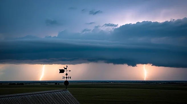
North Texas is experiencing a mild start to the week with temperatures in the 50s and 60s, but weather conditions are expected to change as the week progresses. According to local forecasts, the region will see partly cloudy skies and breezy winds, with gusts
potentially exceeding 30 mph. These conditions are expected to warm temperatures into the mid-80s. However, there is a 10% chance of isolated storms in the Red River Counties later in the evening, as a dryline sets up to the west. Despite a strong CAP in place, which reduces the likelihood of storm development, there remains a low-end severe threat across Montague, Cooke, Grayson, North Wise, and Northern Denton counties.
Why It's Important?
The potential for severe weather in North Texas is significant as it could impact local communities, particularly in areas prone to storms. Severe weather can lead to disruptions in daily life, including power outages, property damage, and transportation issues. For residents and businesses in the affected counties, staying informed and prepared is crucial to minimize potential risks. The weather conditions also highlight the importance of local meteorological services in providing timely and accurate forecasts to help communities prepare for adverse weather events.
What's Next?
Residents in the affected areas should monitor local weather updates and be prepared for possible severe weather conditions. It is advisable to secure outdoor items, have emergency supplies ready, and stay informed through local news channels. Authorities may issue weather advisories or warnings if conditions worsen, and residents should follow any guidance provided by local emergency management agencies.