

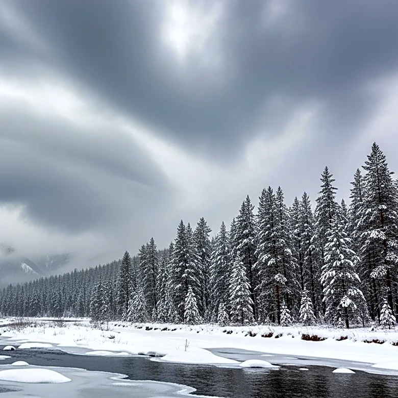


What's Happening?
A significant late-season winter storm is affecting parts of Colorado and Wyoming, with the National Weather Service (NWS) issuing multiple winter storm warnings and advisories. The storm is expected to bring up to 30 inches of snow in some areas, particularly
affecting mountain regions and urban corridors. In Colorado, areas such as the Front Range, Eastern Plains, and central valleys are under advisories, with snowfall expected to reach between 10 and 20 inches in higher elevations. The storm is likely to disrupt travel, damage trees and power lines, and create hazardous conditions. In Wyoming, similar warnings are in place, with the Snowy Range and other mountain areas expecting significant snowfall. The NWS warns of reduced visibility and potential power outages due to the heavy, wet snow.
Why It's Important?
The storm poses significant risks to travel and safety, particularly in mountainous and high-elevation areas. The heavy snowfall and strong winds could lead to road closures, travel delays, and power outages, affecting residents and travelers. The impact on major routes such as Interstate 80 and mountain passes could disrupt transportation and logistics, with potential economic implications for local businesses and communities. The storm also highlights the challenges of late-season winter weather, emphasizing the need for preparedness and caution among residents and authorities.
What's Next?
Residents in affected areas are advised to prepare for severe winter weather by checking local forecasts, ensuring vehicles are winter-ready, and packing emergency travel kits. The NWS recommends avoiding unnecessary travel, especially during peak commute hours, and using caution on roads. As the storm progresses, authorities may implement road closures or travel restrictions to ensure safety. Power companies may also need to address outages and restore services in affected areas. The situation will require ongoing monitoring and response from local and state agencies.