


What's Happening?
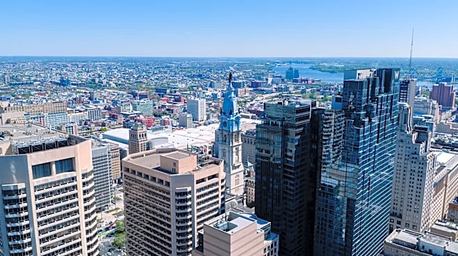
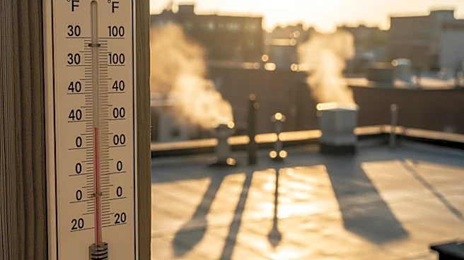
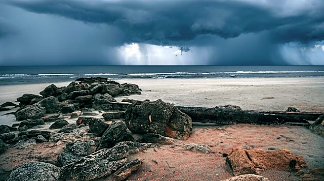
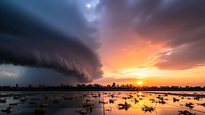
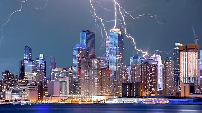
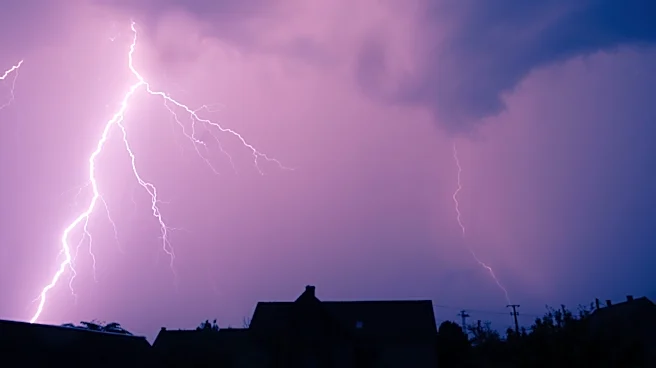
Philadelphia is experiencing a heat wave with temperatures reaching the low 90s, accompanied by high humidity and brisk southwest winds. A strong cold front is expected to move in, bringing scattered storms after 4 p.m. on Sunday. These storms could be
severe, with the potential for damaging winds, large hail, and heavy downpours. Although the tornado threat is low, it is not entirely absent. The weather conditions may disrupt outdoor activities, including World Cup watch parties at Lincoln Financial Field. Travelers should prepare for possible delays, and power outages could occur, so residents are advised to keep their devices charged. A NEXT Weather Alert is in effect from 4 p.m. until midnight due to these conditions.
Why It's Important?
The severe weather conditions in Philadelphia highlight the challenges of managing outdoor events and travel plans during extreme weather. The potential for damaging winds and hail poses risks to public safety and infrastructure, while power outages could disrupt daily life. The timing of the storms, coinciding with major events like the World Cup, underscores the need for contingency planning in event management. Additionally, the heat wave and subsequent storms reflect broader climate patterns affecting the region, emphasizing the importance of preparedness and resilience in the face of increasingly volatile weather.
What's Next?
Following the storms, temperatures in Philadelphia are expected to drop to the upper 70s on Monday, providing relief from the recent heat wave. The weather is forecasted to be sunny and cooler, which should be a welcome change for residents. As summer officially begins on June 21, the city may continue to experience fluctuating weather patterns. Residents and event organizers will need to remain vigilant and adaptable to changing conditions, particularly as the summer season progresses.