




What's Happening?
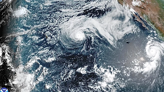
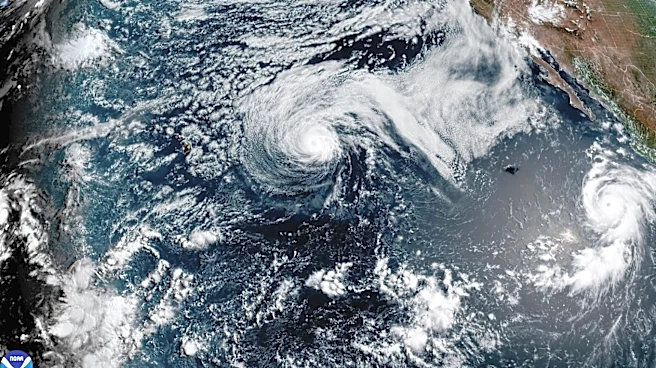
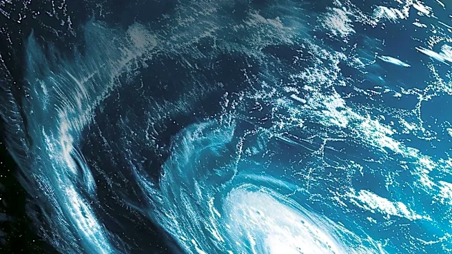
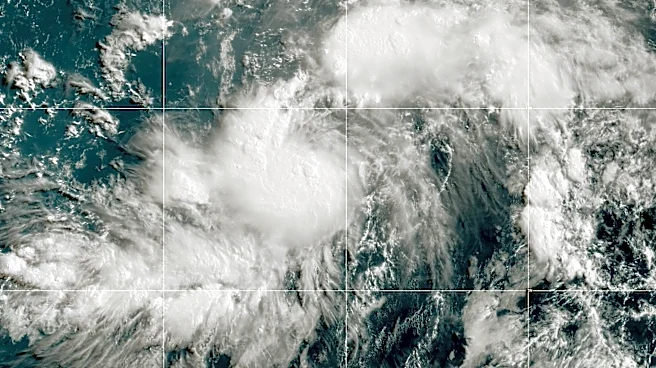
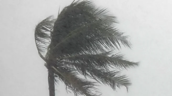
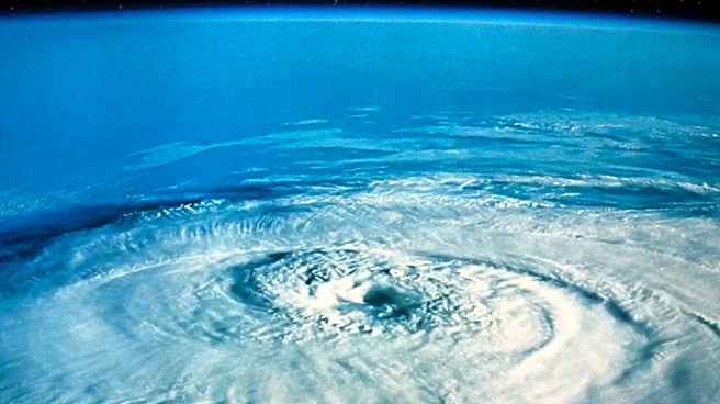
Hurricane Genevieve has intensified into a Category 5 hurricane in the eastern Pacific, marking the first such storm in the region since 2024. The storm, which rapidly intensified over the weekend, is currently located about 700 miles southwest of the coast
of Mexico. With maximum sustained winds of 160 mph, Genevieve is moving west-northwest across open waters. Despite its strength, the hurricane is not expected to make landfall, though it is generating swells that could impact the southwestern coast of Mexico and the southern Baja California Peninsula. These swells may create life-threatening surf and rip current conditions.
Why It's Important?
The rapid intensification of Hurricane Genevieve highlights the challenges meteorologists face in forecasting such events, which can reduce preparation time for potentially affected areas. While Genevieve poses no immediate threat to land, its development underscores the active nature of the current hurricane season in the eastern Pacific. The storm's intensity and the conditions that allowed for its rapid strengthening are of particular interest to meteorologists, as they study the factors contributing to such powerful storms. The potential for dangerous marine conditions also serves as a reminder of the broader impacts hurricanes can have, even when they remain offshore.
What's Next?
Genevieve is expected to continue moving over open waters, with forecasts indicating a gradual weakening as it encounters cooler sea-surface temperatures and less favorable atmospheric conditions. Despite this expected weakening, the storm is likely to remain a powerful hurricane for several days. Meteorologists will continue to monitor its progress and any potential changes in its trajectory or intensity. The focus will also remain on the swells and rip currents affecting coastal areas, as these can pose significant risks to those in the region.