


What's Happening?
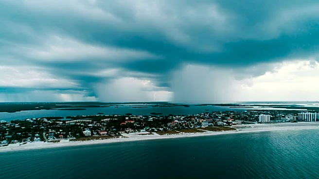
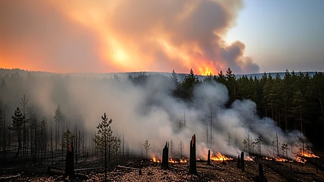
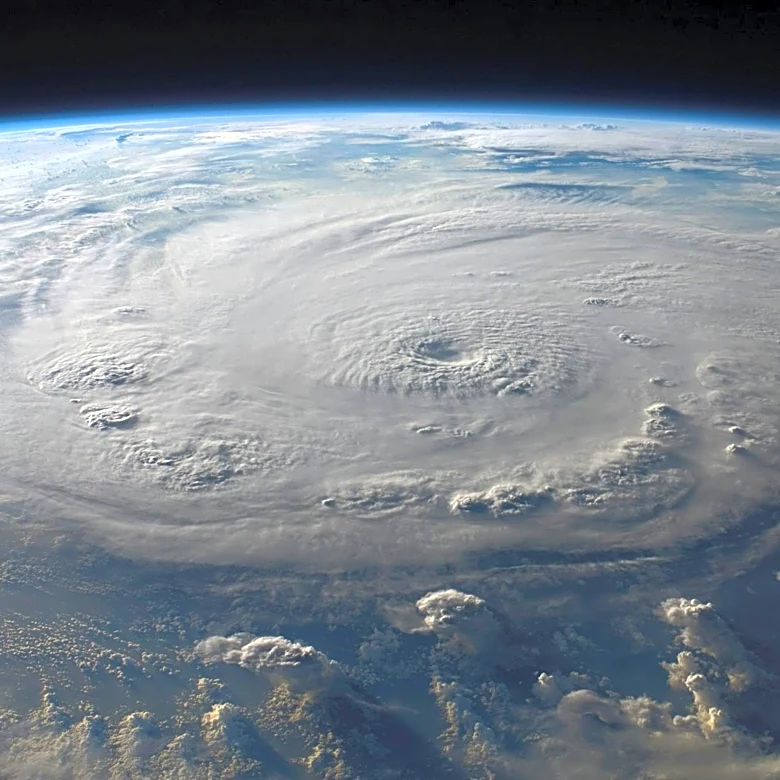
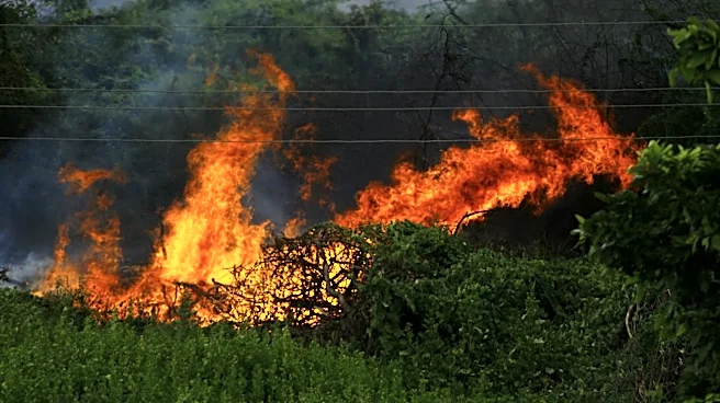
South Florida is bracing for heavy rain and thunderstorms this week, which could impact ongoing wildfire containment efforts in Broward and Miami-Dade counties. The Max Road Fire in western Broward County and the 172nd Avenue Fire in southern Miami-Dade have
burned significant areas, with containment efforts ongoing. Weather forecasts indicate that rain and thunderstorms could provide some relief by aiding in fire suppression. However, the potential for heavy downpours also raises concerns about flooding and other weather-related challenges. The situation is being monitored closely as weather conditions evolve.
Why It's Important?
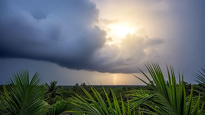
The anticipated weather changes in South Florida could have a dual impact on the region. On one hand, the rain could assist in containing the wildfires, providing much-needed relief to fire crews and affected communities. On the other hand, heavy rain and thunderstorms could lead to flooding, creating additional challenges for emergency services and residents. The situation highlights the complex interplay between weather patterns and disaster management, emphasizing the need for adaptive strategies to address multiple hazards simultaneously. The outcome of this weather event will be crucial in determining the overall impact on the region.
What's Next?
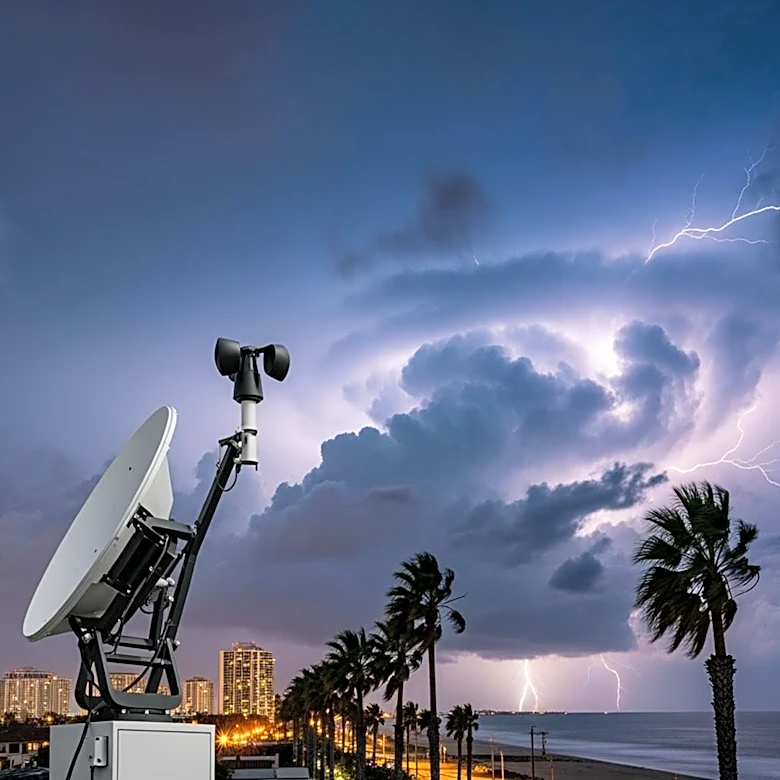
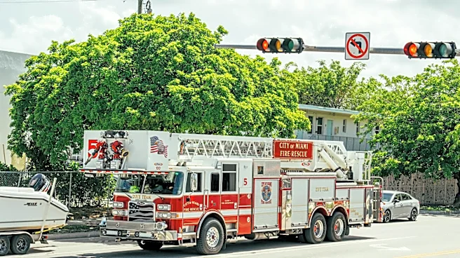
As South Florida prepares for the incoming weather, local authorities and emergency services are likely to remain on high alert. Efforts to contain the wildfires will continue, with the potential for weather-related adjustments to response strategies. Residents are advised to stay informed about weather updates and follow any guidance issued by local authorities. The situation may also prompt discussions on improving infrastructure and community preparedness to better handle the combined effects of wildfires and severe weather events in the future.