




What's Happening?
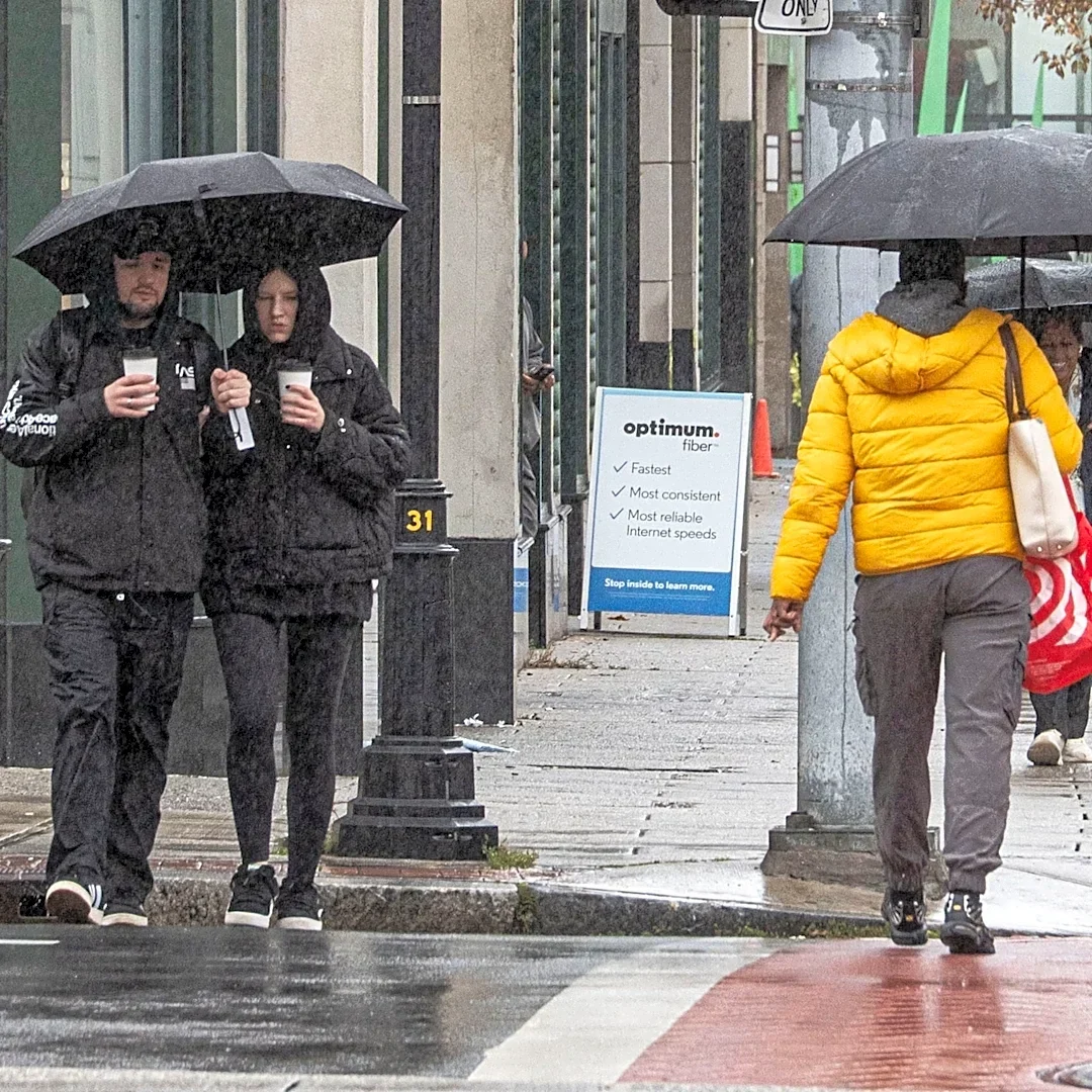
A powerful storm system is currently sweeping through the Great Lakes region and is forecast to impact the Northeast with significant rain and strong wind gusts. The storm is expected to bring a Friday washout to the Northeast, with wind gusts potentially
reaching 30 to 40 mph along the New England coast, and up to 50 mph in some areas. While initially predicted to undergo 'bombogenesis,' the FOX Forecast Center indicates the storm will not quite meet this definition, which requires a non-tropical storm system's pressure to drop by at least 24 millibars within 24 hours. Despite this, heavy downpours are anticipated, especially north of the Interstate 90 corridor through Friday night, with some areas potentially receiving up to an inch of rain. The storm is also expected to bring severe weather, with NOAA issuing a Level 1 out of 5 risk for severe thunderstorms from St. Louis through central Illinois and Indiana to Cleveland. The Mid-Atlantic and parts of New York, including the Catskills and Hudson Valley regions, could experience severe storms with damaging wind gusts and a possibility of isolated tornadoes.
Why It's Important?
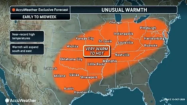
This storm is significant due to its widespread impact across the Midwest and Northeast, affecting daily commutes, maritime conditions, and potentially causing power outages from strong winds. The transition from record-setting heat to the coldest air of the season will have immediate implications for energy consumption and public health, particularly for vulnerable populations. The threat of severe thunderstorms and isolated tornadoes in densely populated areas like the Mid-Atlantic and New York poses risks to public safety and infrastructure. For industries, particularly transportation and logistics, the storm could lead to delays and disruptions. The agricultural sector in affected regions will also need to prepare for the abrupt temperature drop and potential early frost, which could impact late-season crops. The maritime industry along the New England coast will face dangerous conditions, affecting shipping and fishing operations. The rapid change in weather patterns underscores the increasing variability in seasonal weather, prompting communities and businesses to enhance their preparedness for extreme weather events.
What's Next?
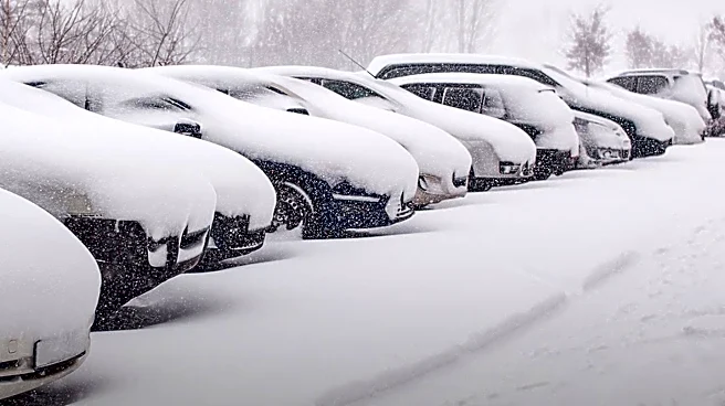
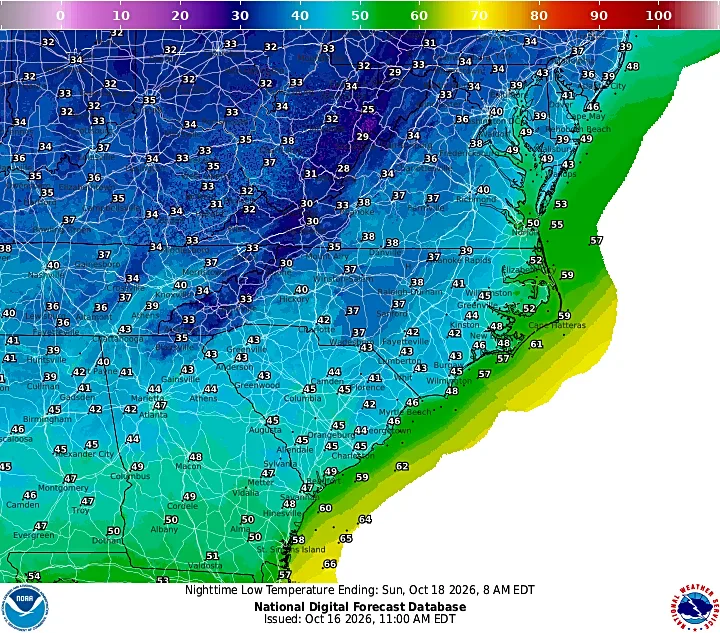
The storm is expected to wind down late Friday. Following its departure, the coldest air of the season will rapidly spread across the eastern U.S., bringing an abrupt end to the recent record-setting heat. Interior valleys in Pennsylvania, Upstate New York, and Northern New England could experience morning lows in the upper 20s and low 30s this weekend. Higher elevations in the Adirondacks, Green Mountains, and White Mountains might see 1-3 inches of snow by Saturday night. Parts of the Ohio Valley, Northern New Jersey, and New York’s Hudson Valley are also expected to experience their first frost of the season. Breezy conditions are forecast to persist through Saturday. Residents in affected areas should prepare for significantly colder temperatures and potential winter weather in higher elevations, as well as continued gusty winds.
Beyond the Headlines
The rapid shift from unseasonably warm temperatures to the coldest air of the season highlights the increasing volatility of weather patterns, which can have broader implications for climate adaptation strategies. While the storm did not officially 'bomb out,' its near-miss underscores the potential for intense weather phenomena and the challenges in predicting their exact severity. This event could prompt further discussions on infrastructure resilience, particularly concerning power grids and transportation networks, in the face of more frequent and intense weather swings. The early arrival of cold temperatures and potential snow in some regions may also influence seasonal energy demand forecasts and preparedness efforts for winter, potentially straining resources if not adequately managed. The combination of strong winds, heavy rain, and a sudden temperature drop also raises public awareness about climate change and its localized impacts, potentially influencing policy discussions on environmental protection and disaster preparedness.