






What's Happening?
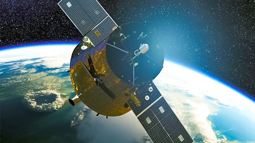
The UN Environment Programme (UNEP) is actively involved in addressing various global environmental challenges, including climate change, pollution, and overexploitation of resources. A recent focus highlights the application of satellite solutions for
food security, particularly in regions like North and Central Asia. This region faces significant desertification due to human activity, and agriculture is a major source of employment, underpinning the livelihoods of rural populations. Geospatial technology is being utilized to enhance agricultural efficiency, optimize resource use, increase yields, and adapt to new climatic realities. Examples include Kazakhstan's AgroData application, which provides real-time information on weather, soil moisture, and crop health, and Kyrgyzstan's partnership with the World Food Programme to equip farmers with climate information. Satellite technology also guides policy at local and national levels, as seen in Turkmenistan's use of geographic information system technology to identify suitable agricultural areas and Kazakhstan's AgroSpace platform for agricultural land data.
Why It's Important?
The integration of satellite technology and geospatial data into agricultural practices and policy-making is crucial for global food security, especially in vulnerable regions. By providing real-time data on environmental conditions, crop health, and resource management, these technologies enable farmers to make informed decisions, leading to increased yields and more sustainable agricultural practices. This is particularly vital in areas prone to climate change impacts like drought and desertification. Furthermore, the collaboration between statistical and geospatial communities, as exemplified by the Global Statistical Geospatial Framework (GSGF), ensures that satellite data can be effectively integrated into official statistics, leading to more robust policy development. The success of these initiatives in North and Central Asia can serve as a model for other regions facing similar challenges, contributing to global efforts to achieve Sustainable Development Goals related to zero hunger and climate action.
What's Next?
The ongoing projects and initiatives indicate a continued push towards leveraging advanced technologies for environmental and food security. The ESCAP project, funded by the Russian Federation, aims to further strengthen the capacity of Central Asian countries in using Earth observation and geospatial technologies for agricultural monitoring. This includes training technical staff and experts and supporting the operationalization of national drought monitoring systems. Uzbekistan is also implementing the GSGF to integrate satellite imagery with land-cover mapping and agricultural census data, with plans to apply this method nationally. These efforts suggest a future where data-driven approaches will play an increasingly central role in managing agricultural resources and mitigating the impacts of climate change, with potential for broader adoption and scaling of these solutions across other vulnerable regions.
Beyond the Headlines
The deeper implications of these technological advancements extend beyond immediate agricultural benefits. The emphasis on skill development and institutional collaboration highlights the need for a holistic approach to sustainable development. Simply having the technology is not enough; effective implementation requires trained personnel and coordinated efforts between various governmental and non-governmental bodies. This shift towards data-driven governance and resource management can foster greater resilience in the face of environmental crises and promote more equitable access to information and resources for rural populations. The success stories from North and Central Asia underscore the potential for technology to bridge knowledge gaps and empower communities, ultimately contributing to long-term stability and prosperity in regions highly susceptible to environmental pressures.