
What's Happening?
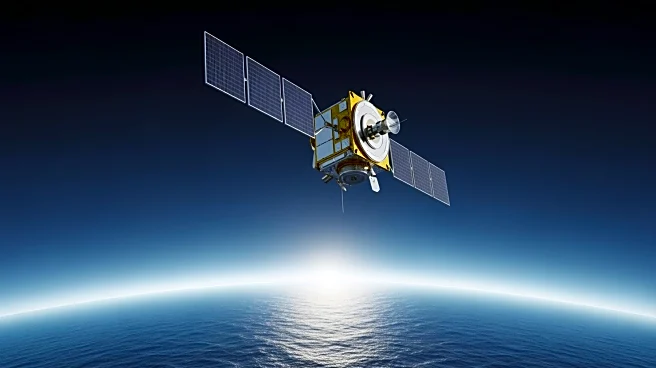
The Sentinel-6B satellite, a joint effort between the US and EU, is set to launch to continue a decades-long record of sea level measurements. This satellite is part of the Sentinel-6/Jason-CS mission,
which involves NASA, ESA, EUMETSAT, and NOAA. Sentinel-6B will provide critical data on sea surface height, aiding in coastal planning, hurricane forecasting, and astronaut reentry. The mission represents a significant international collaboration, pooling resources and expertise to deliver high-impact data for government and industry use.
Why It's Important?
Sentinel-6B's data is crucial for understanding sea level changes, which have direct implications for coastal infrastructure, weather forecasting, and national security. The satellite's measurements will help improve public safety, city planning, and commercial activities by providing accurate information on ocean conditions. This mission underscores the importance of international cooperation in addressing global challenges like climate change and sea level rise, offering valuable insights for policymakers and scientists.
What's Next?
After its launch, Sentinel-6B will undergo data cross-calibration with its predecessor, Sentinel-6 Michael Freilich, to ensure continuity and accuracy in sea level measurements. The data collected will be integrated into weather prediction models and used to enhance hurricane forecasts and coastal management strategies. The mission will continue to support research and decision-making processes related to climate change and oceanography.