What is the story about?
What's Happening?
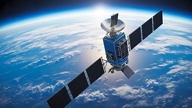
NASA is preparing to launch the Sentinel-6B satellite, a successor to the Sentinel-6 Michael Freilich satellite, to continue the long-term global sea level data record. This mission follows a series of ocean topography satellites, including TOPEX/Poseidon and the Jason series, which have been operational since 1992. The Sentinel-6B satellite is set to launch next month and will begin providing data in early 2026. It will work concurrently with its predecessor for a period to ensure data accuracy. The mission aims to measure ocean height with high precision and monitor the redistribution of heat, water, and carbon in the climate system.
Why It's Important?
The continuation of the global sea level data record is crucial for understanding climate change and its impact on ocean currents, storms, and weather patterns. Accurate ocean topography data is vital for maritime navigation, helping to avert potential disasters by providing timely forecasts. The data also contributes to the study of inland waterways, aiding in flood prevention and emergency response. The collaboration between European and U.S. space programs highlights the importance of shared data in addressing global environmental challenges.
What's Next?
The Sentinel-6B satellite is expected to launch from Vandenberg Space Force Base in November 2025. Once operational, it will provide critical data for climate scientists and policymakers, enhancing the ability to predict and respond to environmental changes. The satellite's data will be used to improve weather forecasts and support research on climate patterns and ocean dynamics.
Beyond the Headlines
The Sentinel-6 mission underscores the role of space technology in everyday life, from satellite TV to weather forecasting. It also highlights the importance of international collaboration in space exploration, as ocean currents and climate change are global issues that transcend political boundaries.


