


What's Happening?
The Midwest region, particularly Missouri, Illinois, and Indiana, is preparing for severe weather conditions, including the risk of excessive rainfall, large hail, damaging winds, and tornadoes. According to the National Weather Service, these states
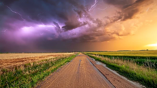
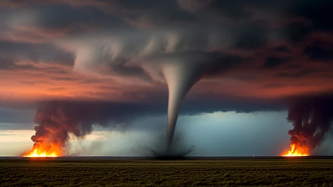
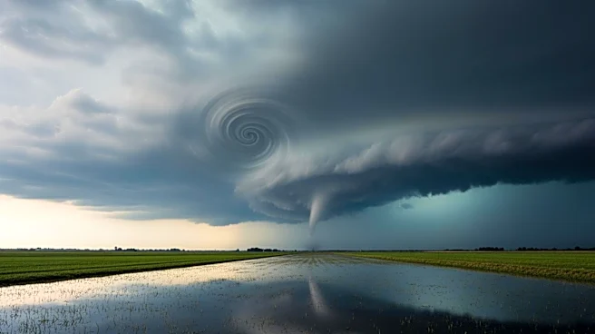
are at the highest risk for severe storms. Meteorologist Brandon Buckingham from AccuWeather highlighted that the St. Louis area is particularly vulnerable to strong, long-track tornadoes. The severe weather is expected to intensify on Monday afternoon and continue into the night, posing a significant threat to heavily populated areas. The St. Louis metro area is currently under a flood watch, while parts of central Illinois are under severe storm and tornado warnings.
Why It's Important?
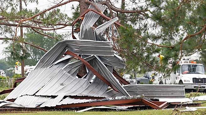
The severe weather conditions pose a significant risk to public safety and infrastructure in the Midwest. The potential for tornadoes and flooding could lead to property damage, power outages, and disruptions to daily life. The threat of long-track tornadoes in densely populated areas like St. Louis increases the potential for casualties and extensive damage. Additionally, the severe weather could impact transportation and logistics, affecting both local and regional economies. Emergency services and local governments are likely to be on high alert, preparing for potential evacuations and disaster response efforts.
What's Next?
As the severe weather system moves eastward, it is expected to bring damaging winds, large hail, and tornadoes to parts of Texas and the Ohio Valley on Tuesday. Residents in these areas are advised to stay informed about weather updates and take necessary precautions. Local authorities may issue additional warnings and advisories as the situation develops. Emergency response teams will likely remain on standby to address any incidents resulting from the severe weather.