





What's Happening?
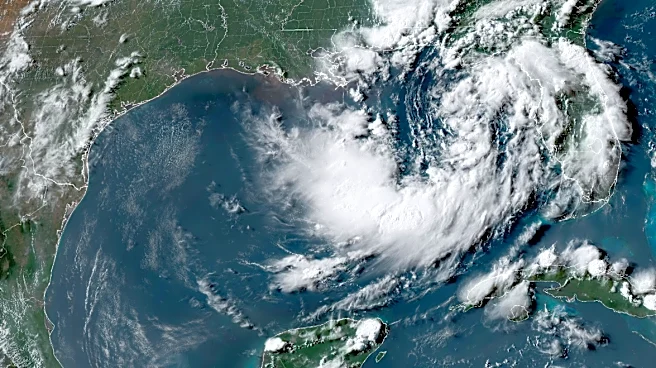
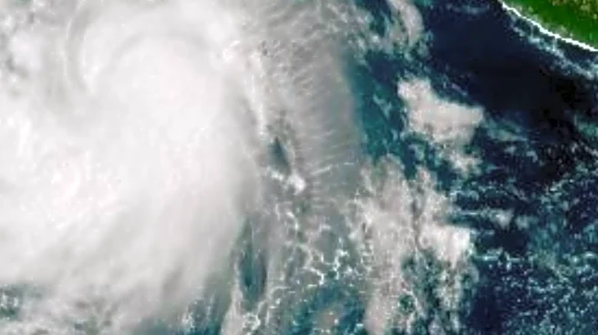
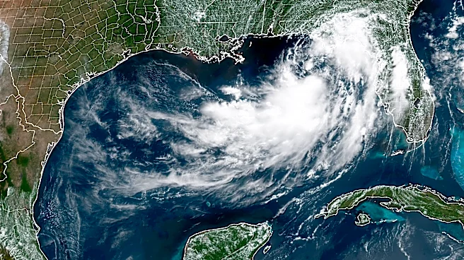
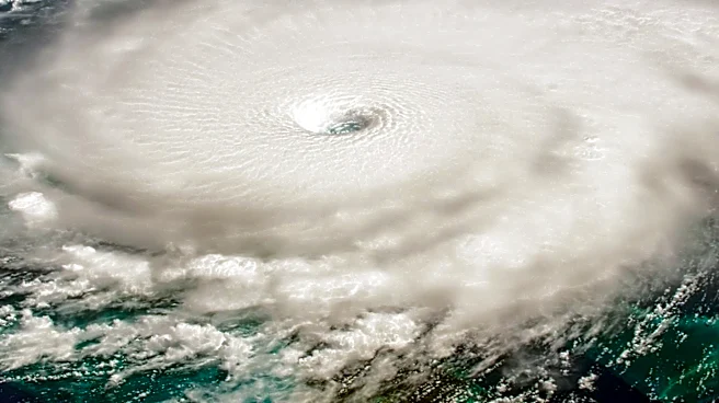
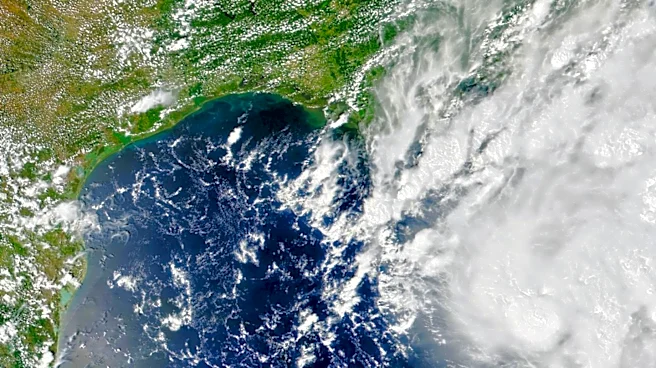
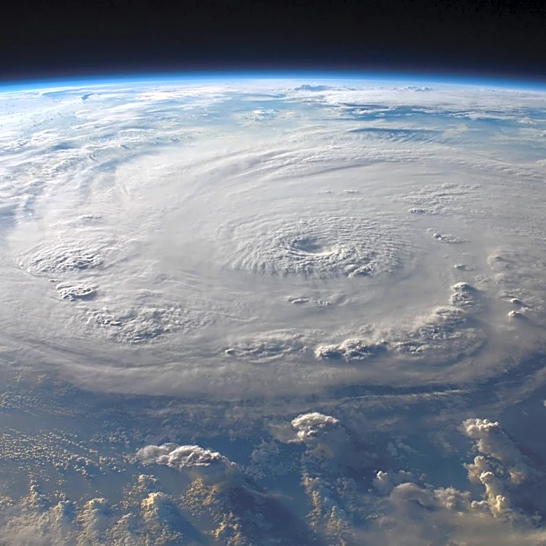
Tropical Storm Bertha has formed in the Gulf of Mexico, south of the Florida Panhandle, and is expected to strengthen as it approaches the Gulf Coast. The storm, which developed from a tropical depression, is moving west-northwest at about 3 mph with
maximum sustained winds of 40 mph. The National Hurricane Center has issued a Tropical Storm Watch for areas from the Ochlockonee River in Florida to the Jefferson/Plaquemines Parish border in Louisiana. The storm is expected to bring heavy rainfall, with forecasts predicting up to 8 inches in some areas, potentially causing flash flooding. Additionally, storm surges could raise water levels by up to 4 feet along parts of the Gulf Coast.
Why It's Important?
The formation of Tropical Storm Bertha marks the second named storm of the 2026 Atlantic hurricane season, following Tropical Storm Arthur. The storm poses a significant threat to the Gulf Coast, an area already vulnerable to severe weather events. The potential for heavy rain and storm surges could lead to widespread flooding, impacting communities, infrastructure, and local economies. The storm's path includes key coastal areas in Florida, Alabama, Mississippi, and Louisiana, which could face disruptions in daily life and economic activities. Emergency services and local governments are likely to be on high alert, preparing for possible evacuations and damage control.
What's Next?
As Tropical Storm Bertha continues to move towards the Gulf Coast, additional weather watches and warnings may be issued. Residents in the affected areas are advised to stay informed and prepare for potential evacuations. The storm's progress will be closely monitored by meteorologists and emergency management agencies, who will provide updates and guidance to the public. The impact of the storm will depend on its strength and path, with potential for further intensification as it approaches land.