





What's Happening?
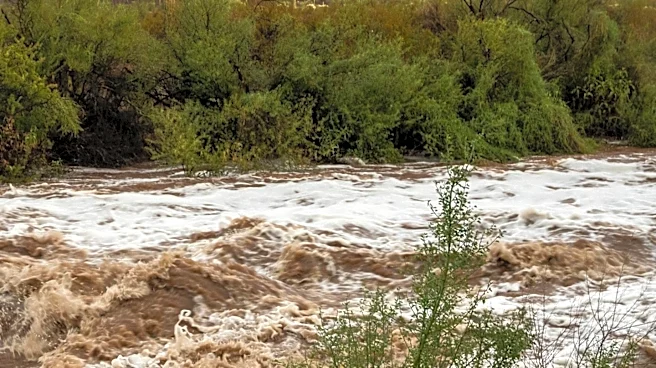
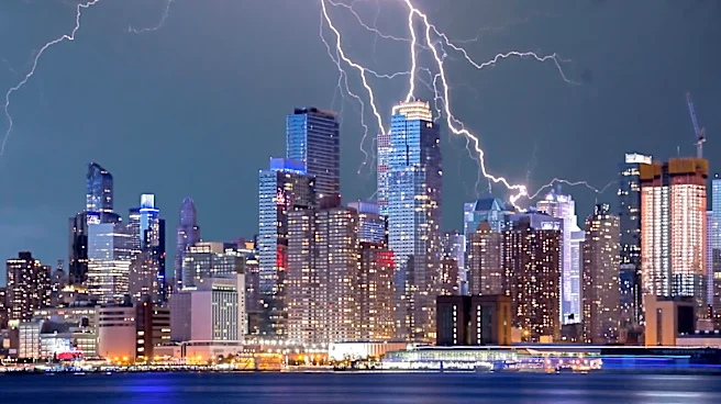
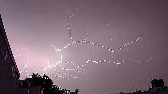
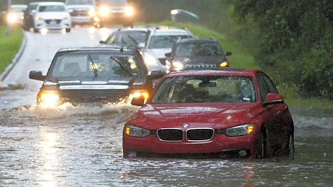
Southern New England is bracing for heavy rain and potential flooding as a strong cold front moves through the region. The storm is expected to bring widespread rain, gusty winds, and thunderstorms, with the heaviest rainfall anticipated north and west
of I-95. Rainfall amounts could reach 1 to 3 inches, leading to localized street flooding and difficult travel conditions. The storm system is expected to clear by Monday night, with improved weather conditions forecasted for Tuesday.
Why It's Important?
The anticipated heavy rainfall and flooding pose significant risks to public safety and infrastructure in Southern New England. Flooding can lead to road closures, property damage, and potential evacuations, impacting residents and local economies. The situation highlights the importance of emergency preparedness and effective communication from local authorities to ensure public safety during severe weather events.
What's Next?
Residents are advised to stay informed through local weather updates and heed any warnings or advisories issued by authorities. Emergency services will remain on alert to respond to any incidents caused by the storm. As the weather system moves out, attention will shift to recovery efforts and assessing any damage caused by the flooding.